A hiking adventure: Two mountain farms – Bredek and Granneset
 Kristin Johansen / Visit Helgeland
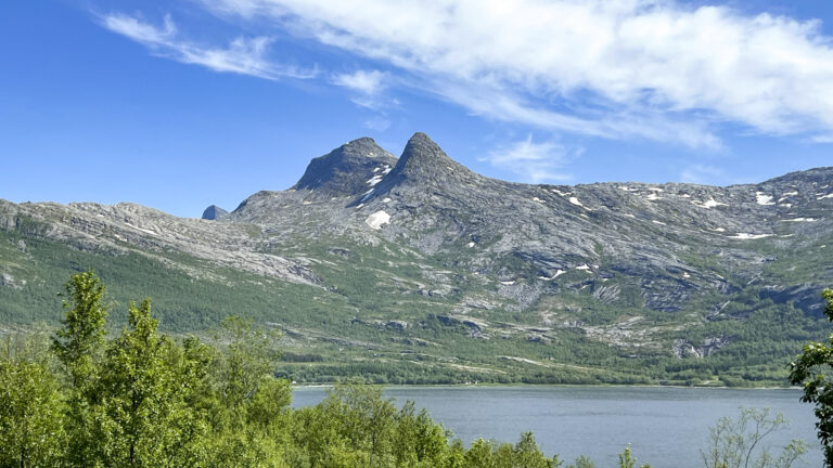
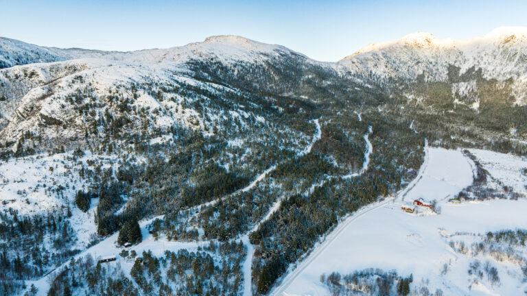
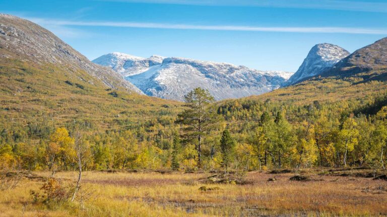
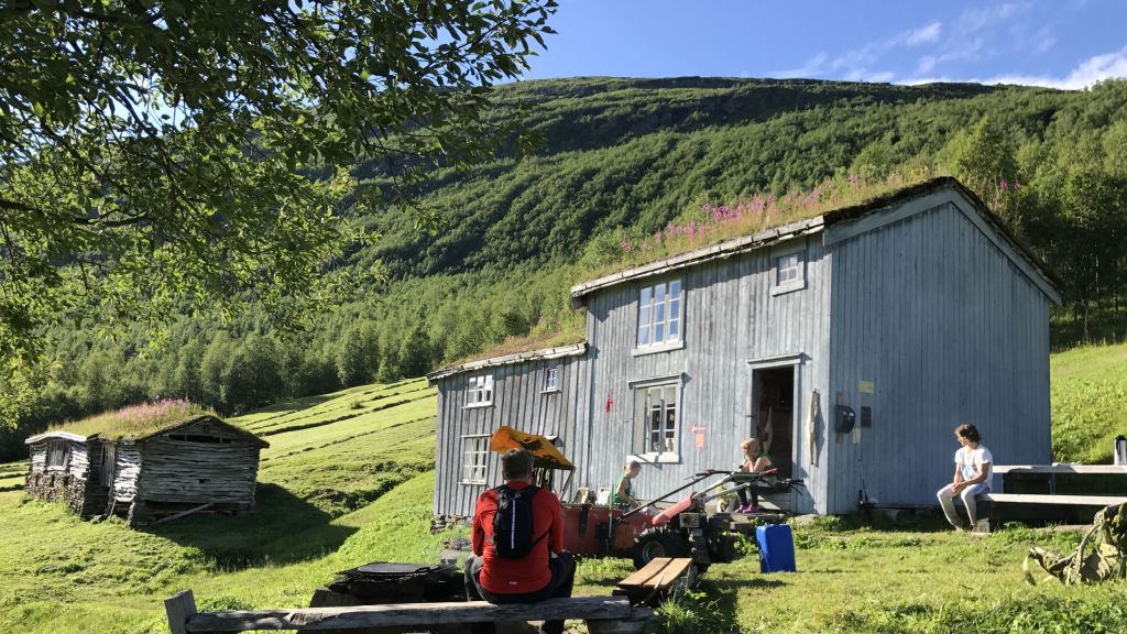
Bredek and Granneset are two mountain farms that date back to the 19th century. Both are situated in beautiful surroundings within the Saltfjellet-Svartisen National Park. This is a wonderful excursion for the whole family.
Key info
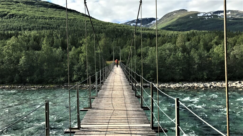
Degree of difficulty: Easy. Slightly sloping terrain except for one steep uphill stretch. There are several airy suspension bridges. The trail is well marked.
Distance one way: 5 km
Ascent one way: 150 m
Duration one way:: 1,5 – 3 hours
Trailhead: From highway E6, take the turnoff towards Storvoll. There is a parking lot just before the bridge across the Bjøllåga river. Get directions with Google Maps
Other: Outdoor toilets are available at the mountain farms.
 Statens Kartverk / Norgeskart.no
Description of your hike
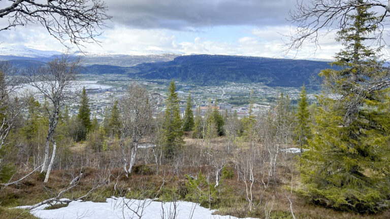
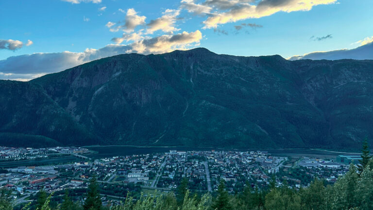
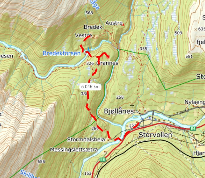
Your hike starts at Storvollen, about 55 km north of the town of Mo i Rana. From highway E6, take the turnoff towards Storvollen and park near Storvollen school. Follow the marked trail for Bredekrunden (the Bredek circuit trail), crossing the suspension bridge to Stormdalshei. Then follow the path up the somewhat steep hillside. After a twenty-minute walk you enter the Saltfjellet-Svartisen National Park.
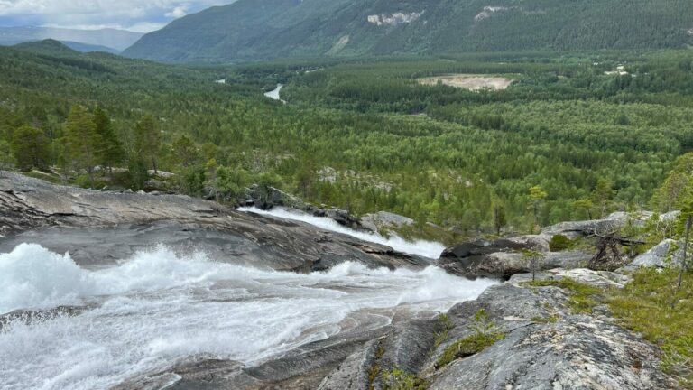
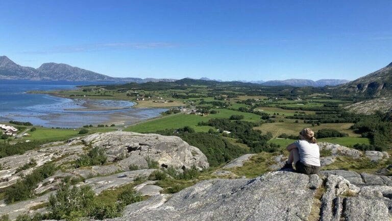
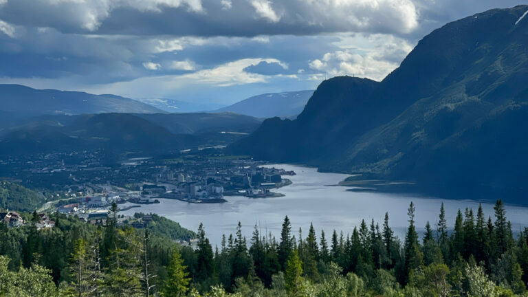
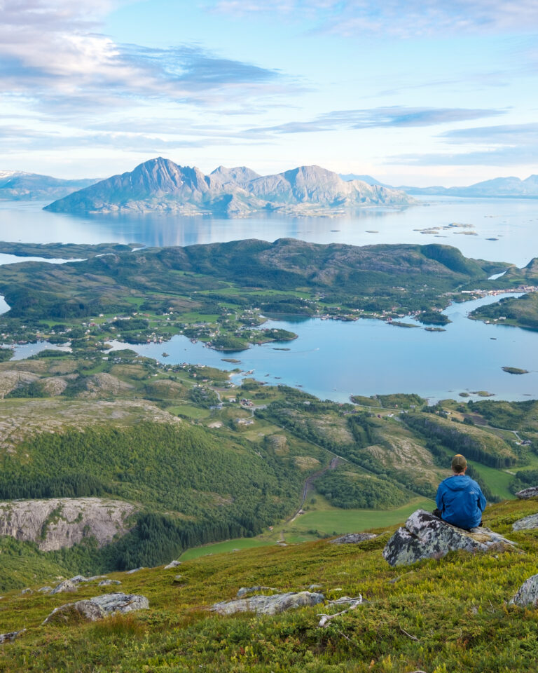
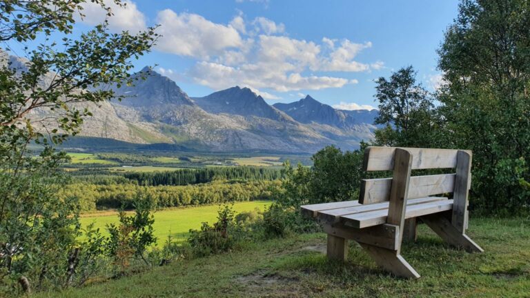
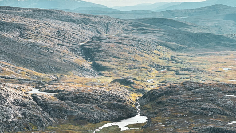
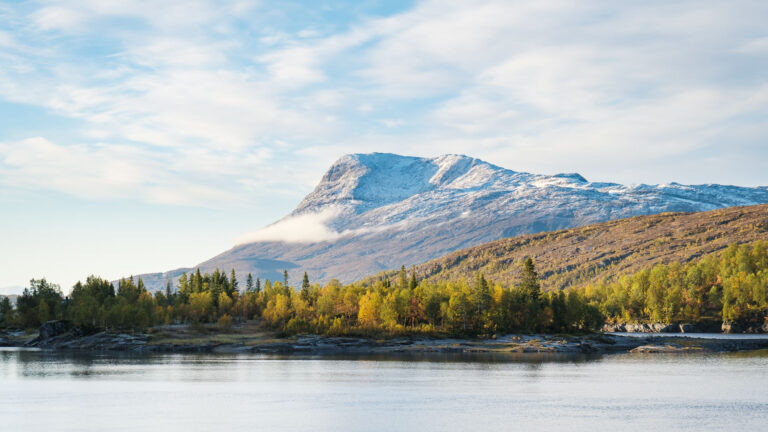
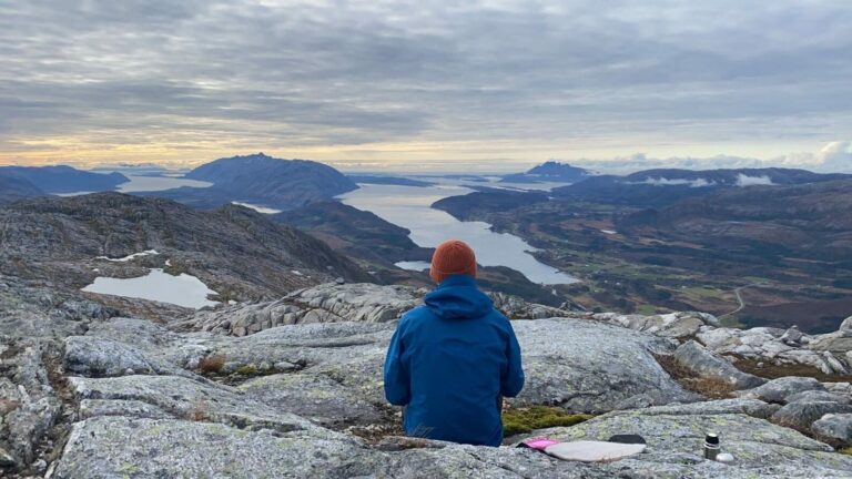
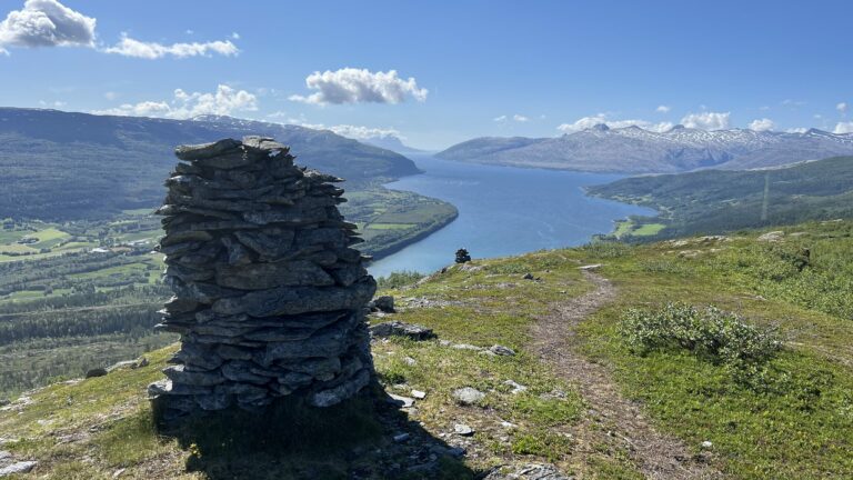
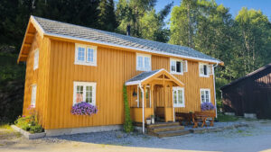
You now have a magnificent view of the Stormdalsåga river and the valley of Dunderlandsdalen. The trail continues through woodland terrain. There is a well-marked detour to Granneset Fjellgård, a mountain farm that is open to day visitors and also offers accommodation.
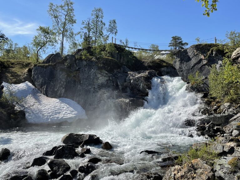
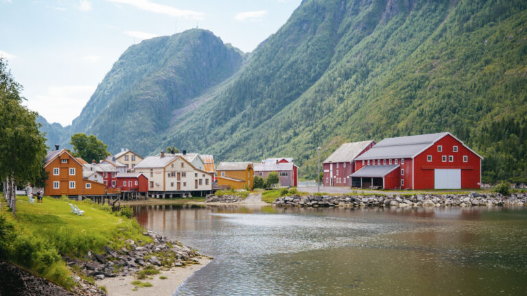
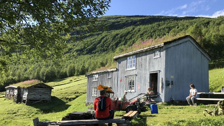
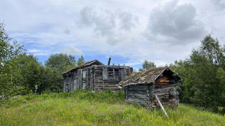
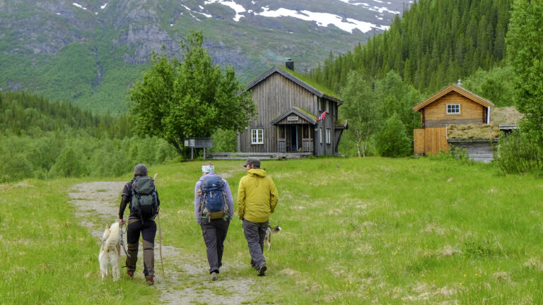
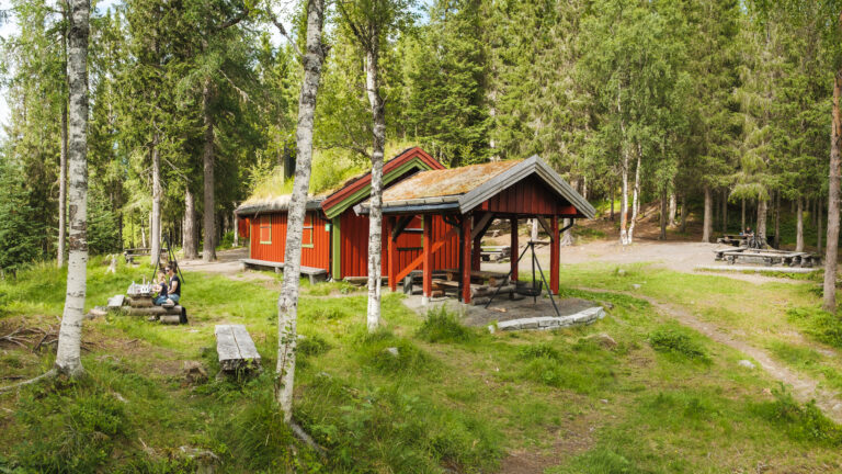
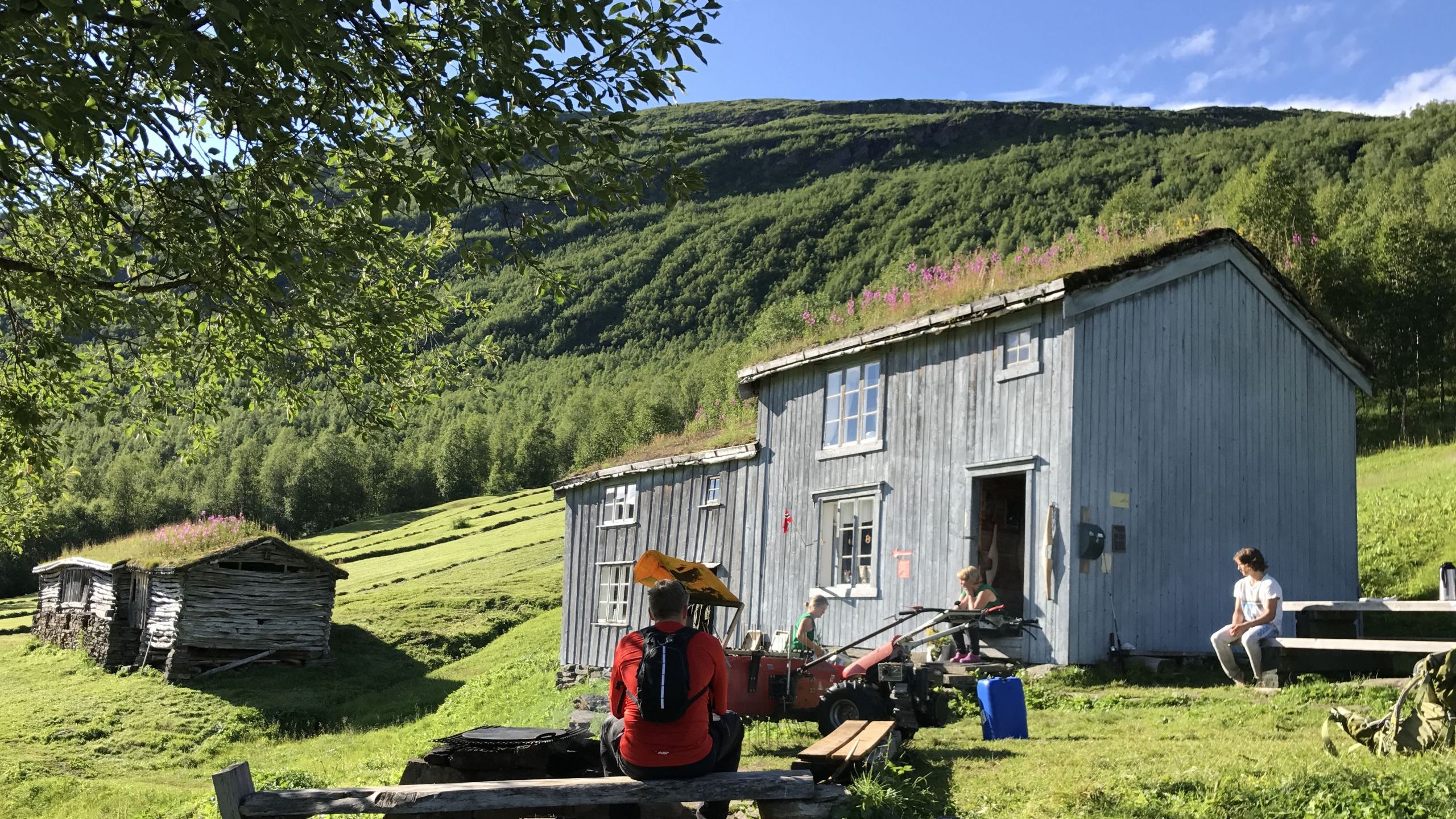
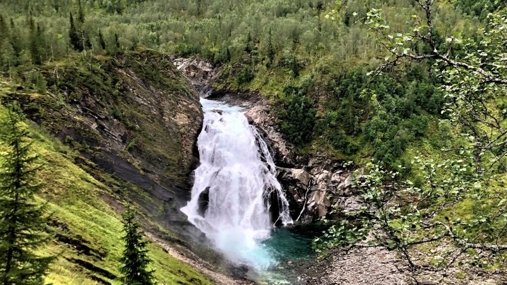
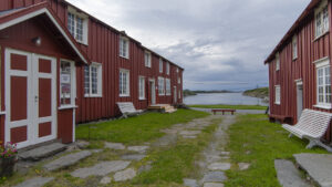
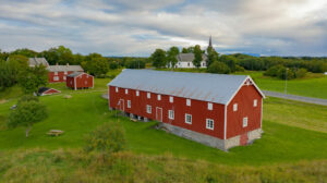
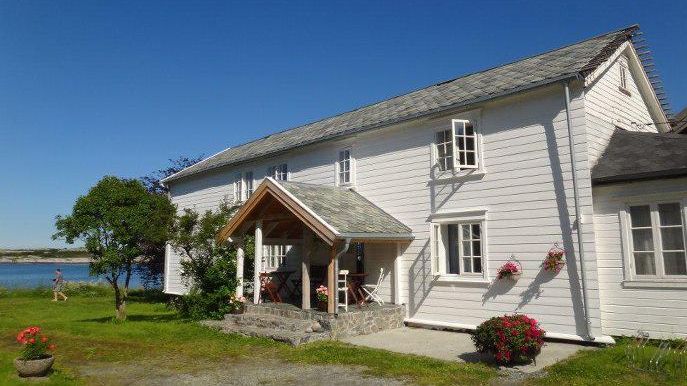
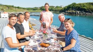
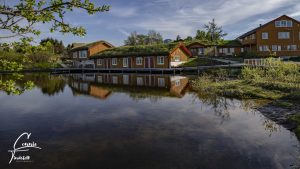
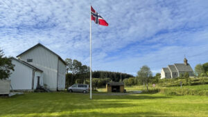
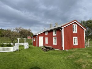
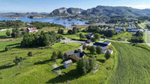
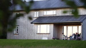
From Granneset, follow the signs to the mountain farm Bredek. You have quite an airy experience crossing the long but fortunately very solid suspension bridge over Bredekfossen falls. Soon you will reach Bredek, a mountain farm with old buildings and impressive meadows and hay-fields. There is also a barbecue area here, which is a fine place to eat your lunch and enjoy the view of the historic mountain farm and the surrounding cultural landscape.
 Kristin Johansen / Visit Helgeland
 Kristin Johansen / Visit Helgeland
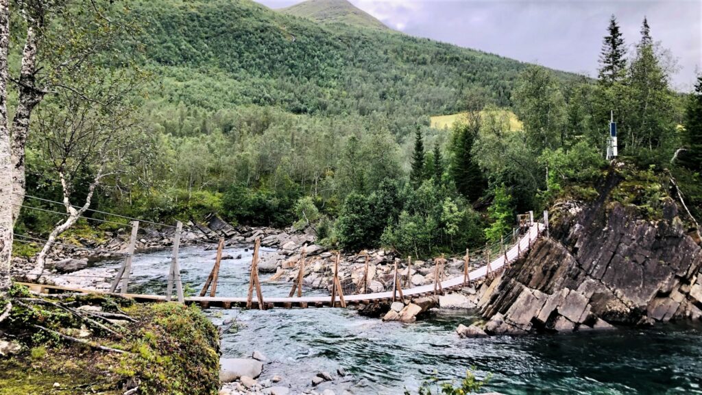 Kristin Johansen / Visit Helgeland
We suggest returning the same way you came, which is what our indicated duration is based on. You do have the option of continuing the trail towards Inner-Bredek and Storvollen, but be aware that this is a longer hike through more hilly terrain.
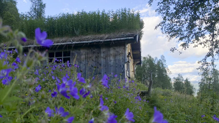
Bredek is owned by Helgeland Museum and the mountain farm is usually kept locked. The farm is open for a few weeks each summer when there is a host. The mountain farm at Granneset owned by Statskog is open for day visits and overnight guests
1. Follow the Norwegian Mountain Code and plan according to your ability and equipment
Short hikes on easy terrain don’t require much. If you’re heading out for an hour or two in the lowlands and not gaining much elevation, you won’t need a lot of gear or be in top shape. If it gets cold or you get tired, you’re usually not far from your car.
But if you’re heading into more challenging terrain—steeper, rougher, and above the treeline where the weather is more unpredictable—you’ll need to be better prepared. You should plan the trip based on weather and conditions, be fit enough to complete it, and be ready for uneven ground, boulder fields, slippery roots, and stream crossings. That means carrying a heavier pack with extra clothes and gear, and wearing sturdy hiking boots that support your ankles.
If you’re unsure about taking on a demanding mountain hike, start with an easy or moderate one and see how it feels.
Learn more about the Norwegian Mountain Code at rodekors.no
See what you should bring on your hike on VisitNorway.com
2. Stick to marked trails
A shortcut through unfamiliar terrain can easily turn into a long and difficult detour. What looks like a trail might just be a sheep path that leads you somewhere completely unexpected. If you want the hike to be as easy or challenging—and as long or short—as planned, it’s best to follow marked trails.
If you’re heading off-trail, it’s smart to follow a GPS track. You can download a GPX file from a hike description and use it on a GPS device, a smartphone app, or a GPS watch.
UT.no and the UT app offer hike descriptions with GPS tracks. If your hike doesn’t have one, you can upload a track to ut.no/mine-turer and access it in the app. It’s free, but you’ll need to create an account.
Always carry a map and compass as backup.
UT app for Android / UT app for iPhone
3. Talk to locals or join a guided hike
Locals often have useful tips about your planned hike. They can tell you where to park, whether there’s phone coverage, if the trail is wet, if rivers are high, or suggest a better alternative. Talk to the people where you’re staying, at the local tourist office, or other hikers on the trail—you might get some truly valuable advice.
The best option is to hike with a guide. You can join a group tour or book a private guide. These are experienced locals who know the area well. They’ll help tailor the hike to your needs and share insights that add to the experience.
4. Look out for cultural landmarks
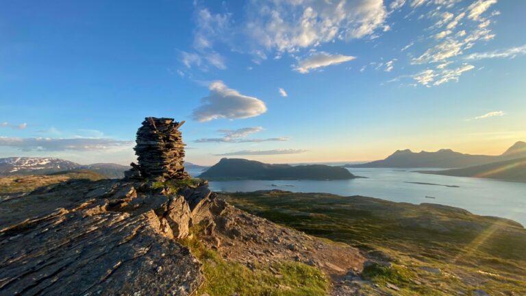
Even high up in the mountains, you’ll find traces of past human activity—some hundreds or even thousands of years old. These can include ancient trail markers, signal cairns, hunting fences, huts, and shepherd shelters. If you spot something interesting, check the KulturPunkt app to see what it is—or use the app to find a cultural site as your hiking goal.
KulturPunkt app for Android / KulturPunkt app for iPhone
KulturPunkt.org
5. Remember your responsibilities under the Right to Roam
Norway’s Right to Roam means you can hike, bike, pick berries, camp, fish, and ski almost anywhere in nature. But it also comes with responsibilities—what we call the “duties of the Right to Roam.” Leave no trace, respect wildlife, and know the rules for hunting, fishing, cycling, and access in protected areas like national parks and nature reserves.
Read more about the Right to Roam and your responsibilities at VisitNorway.com
Thank you for respecting the local communities, and for helping us preserve the natural beauty of Helgeland!
Please:
- Strive to leave no trace of your visit. Bring back all your rubbish, including used toilet paper, and discard it in the nearest rubbish bin.
- Plan your toilet visits and use the opportunity when you pass a toilet. In the wilderness, make sure you are not a nuisance to others.
- Respect the local wildlife. Keep a good distance from wildlife, livestock and birds. Keep your dog leashed.
- Respect private property. Keep a respectful distance from houses and cabins.
- Show good boating sense. Keep a good distance from shore and drive at a low speed, especially when you are close to anyone or anything on the water, including birds or animals. Avoid loud and disturbing engine noise. Be aware that some islands and nature reserves are important nesting sites, and that going ashore is prohibited during the nesting season.
- Follow the Norwegian Mountain Code (Fjellvettreglene). Plan your excursion according to the weather forecast, your skills and experience.
- Join a guided excursion or consider hiring an experienced guide, especially when you don’t have sufficient experience or knowledge to guarantee a safe trip.
Explore the area




























































































Discover more hiking adventure