With it’s thousands of islands, islets, and skerries, the island municipality of Herøy is perfect for those who want an active seaside vacation.
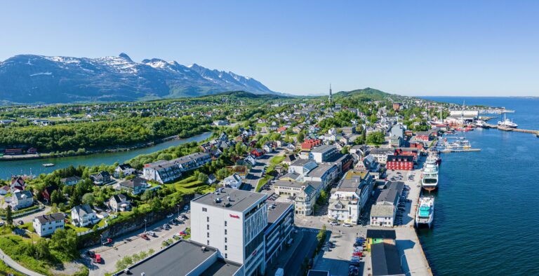
Herøy is located just off Sandnessjøen, approximately in the middle of Helgeland. There is a bridge connecting Herøy to the neighboring island of Dønna.
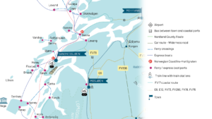
Ferry
You can take a ferry from Sandnessjøen city center to Bjørn on Dønna, or from Søvik, about 15 km south of Sandnessjøen, to Herøy. Click on the names above to view them on Google Maps.
View ferry schedules for the Sandnessjøen – Dønna route
View ferry schedules for the Søvik – Herøy route
Express boat
You can take an express boat from Sandnessjøen to Flostad on Herøy. Click on the names above to view them on Google Maps.
View the express boat schedule from Sandnessjøen to Herøy
Live ferry queue cameras
See the Søvik ferry queue (by Sandnessjøen)
See the Herøy ferry queue
See the Bjørn ferry queue (on Dønna)
See the Sandnessjøen ferry queue
You can also view local traffic updates at Vegvesen.no
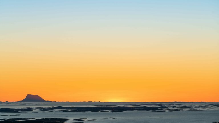
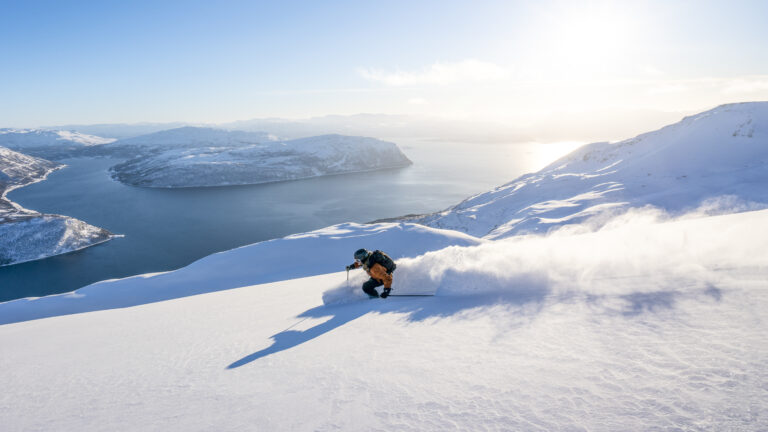
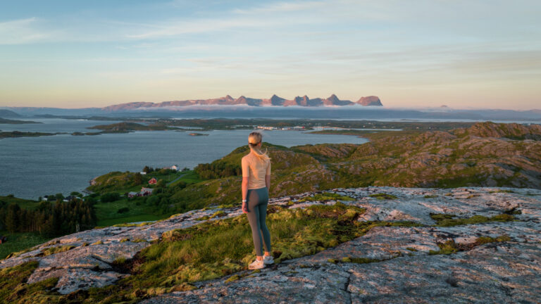
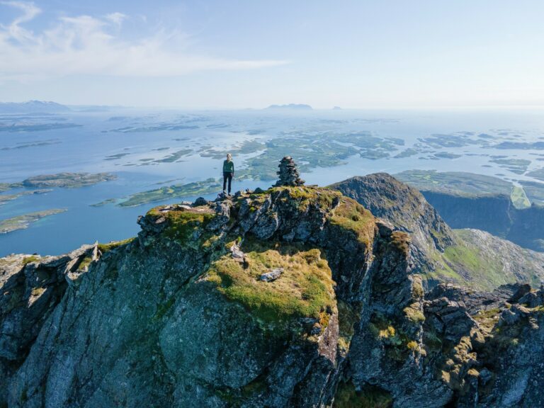
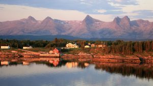
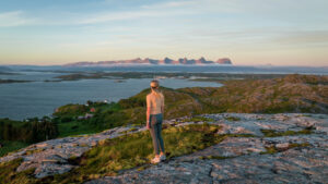
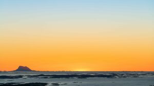
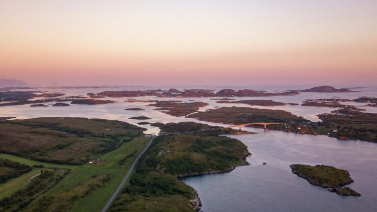
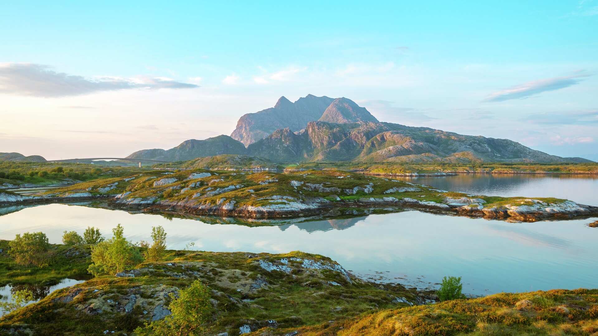
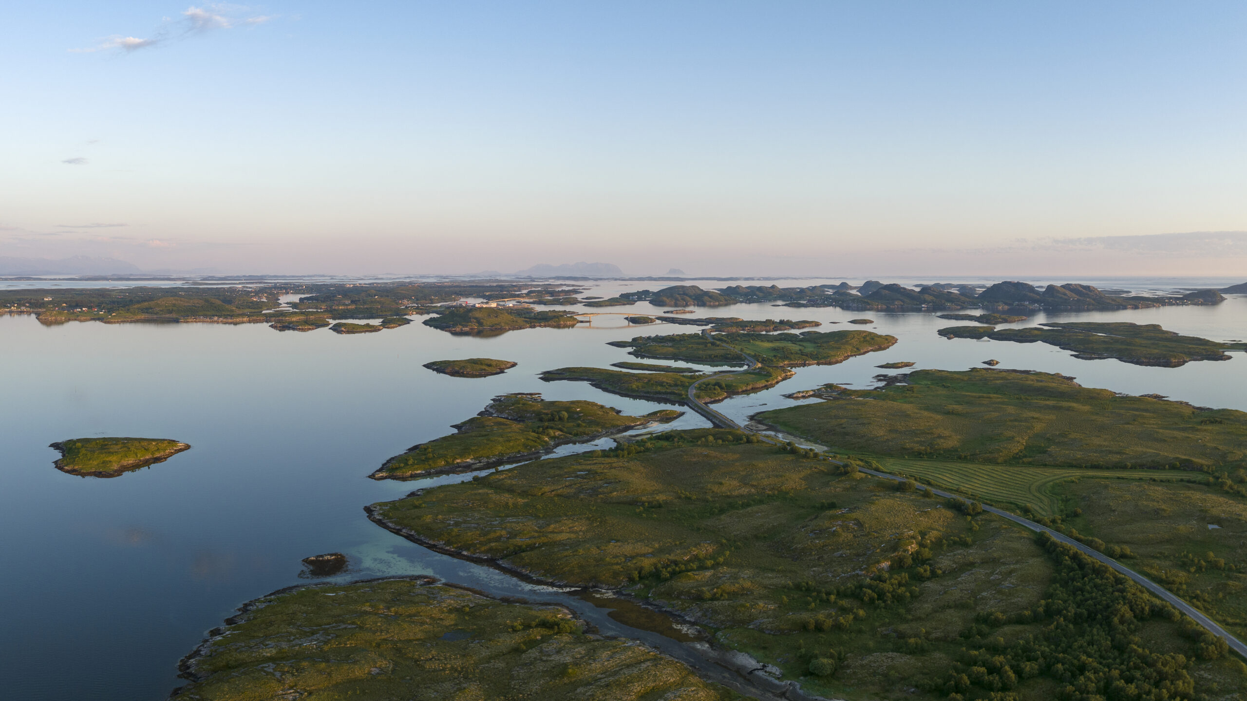
Herøy is an group of islands off Sandnessjøen, with several larger inhabited islands and thousands of smaller islands and islets in a beautiful archipelago. In the low coastal landscape, there is little to obstruct the midnight sun in the summer or the northern lights in the winter, or the view of the magnificent mountains such as Dønnamannen and De Syv Søstre to the north and east.
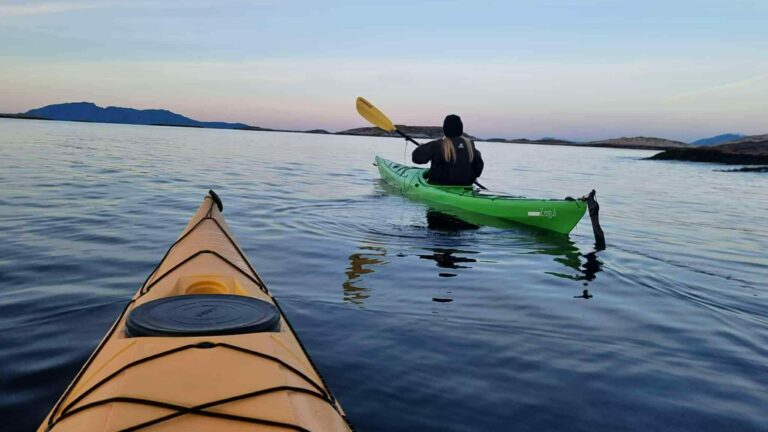
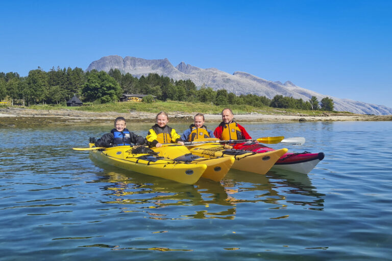
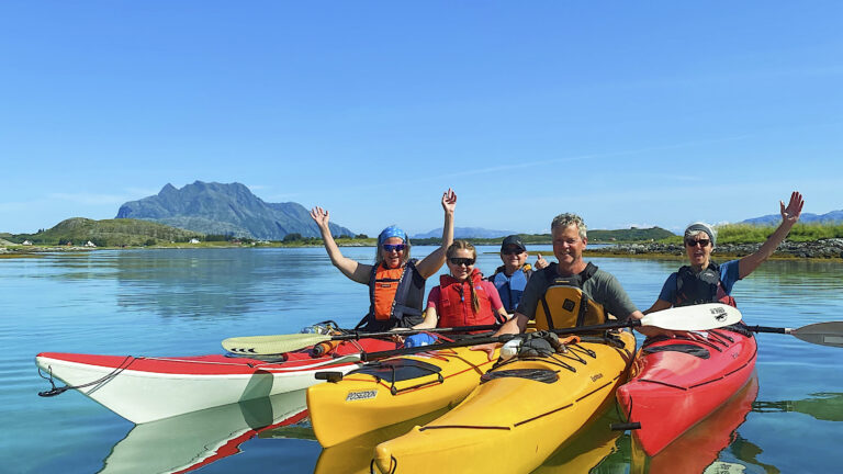
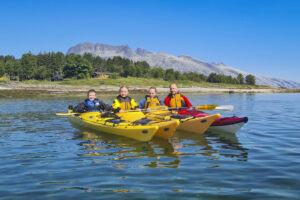
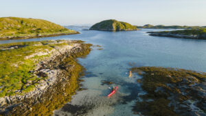
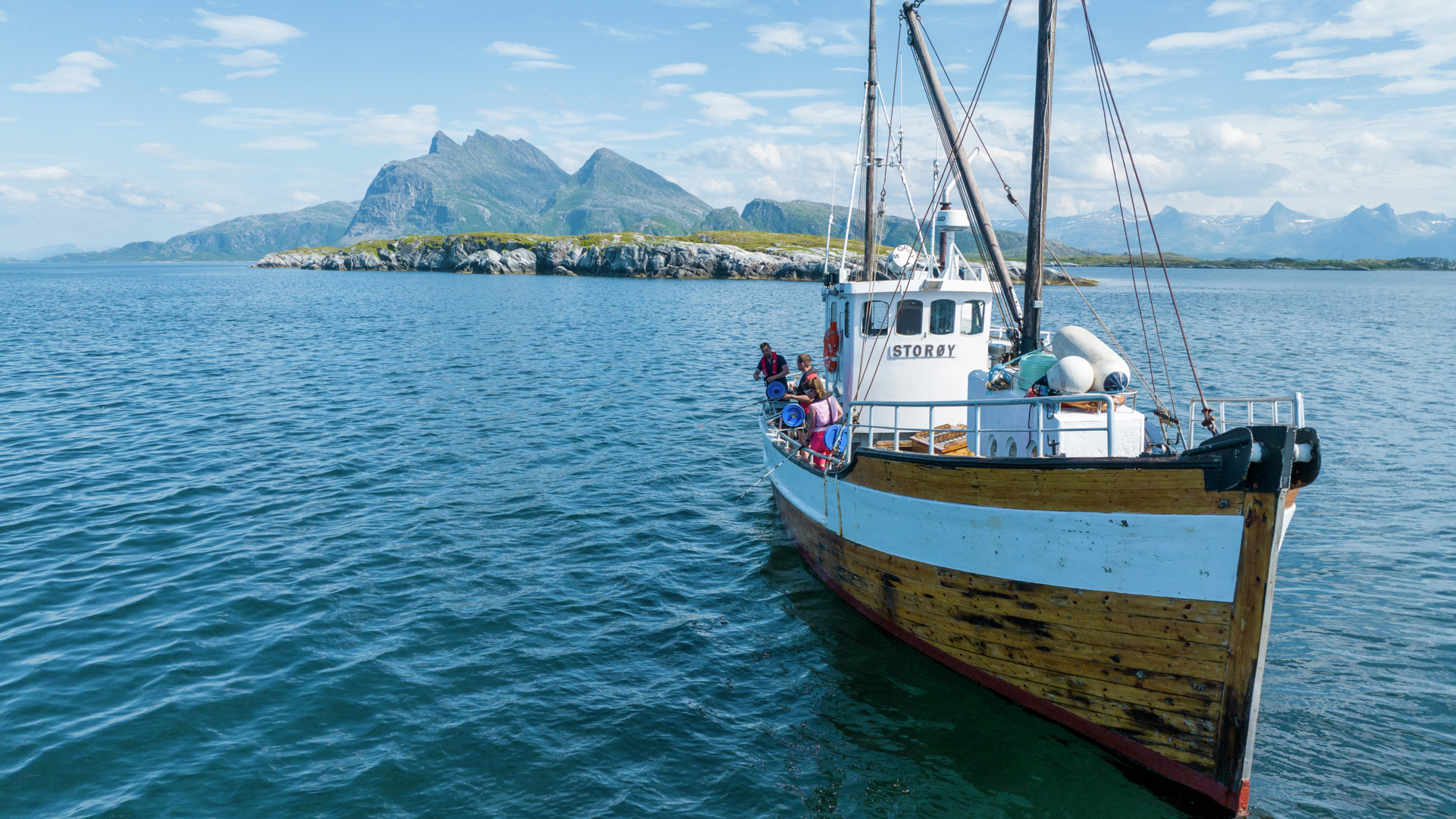
The island group is considered one of Norway’s best areas for kayaking. The extensive archipelago offers a myriad of shallow water areas, narrow straits, sheltered bays, and coves with beaches just waiting to be explored by paddlers. The low landscape and sheltered sea also make the area highly suitable for kiting and windsurfing, as you can enjoy good sailing winds without the sea becoming too rough.
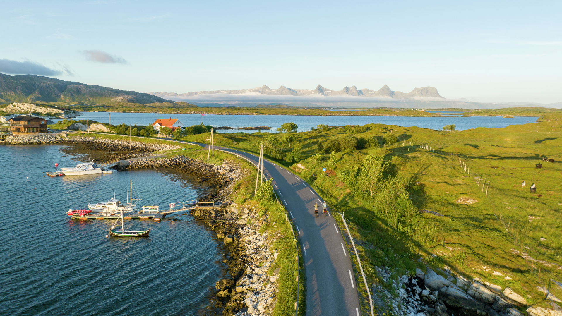
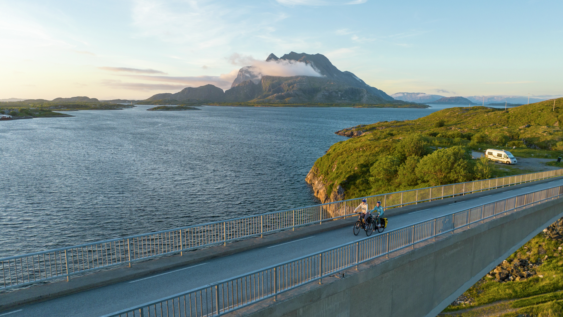
With bridge connections between most of the major islands and the neighboring island of Dønna, Herøy is ideal for those who want to bring their bicycles on vacation. The beautiful coastal landscape is easy to cycle through, and with the option to choose long distances, the area is well-suited for both leisurely and challenging bike rides.
 Kristoffer Møllevik / Visit Helgeland
Activities and Attractions – Things to do in Herøy
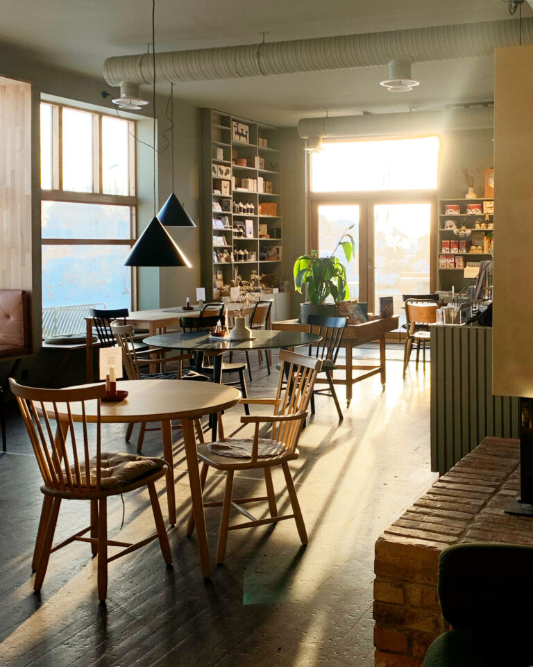


Restaurants and cafés on Herøy and Dønna
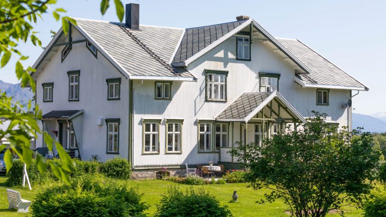
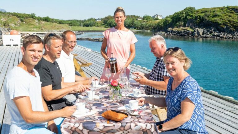
Herøy and the neighboring island of Dønna offer a great selection of dining options, featuring traditional farm-to-table cuisine, seafood specialties, as well as a local twist on pizzerias.

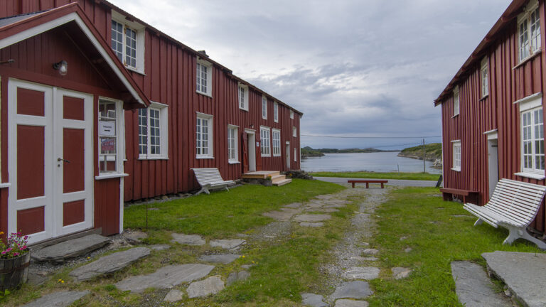
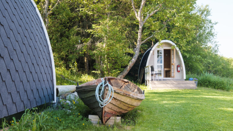
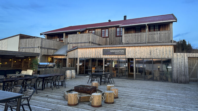
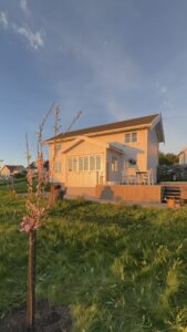
Accommodation


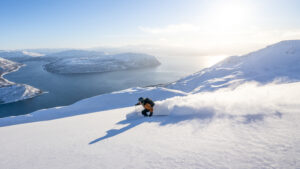
Great hikes and trips on and around Herøy
Practical information
Thank you for respecting the local communities, and for helping us preserve the natural beauty of Helgeland!
Please:
- Strive to leave no trace of your visit. Bring back all your rubbish, including used toilet paper, and discard it in the nearest rubbish bin.
- Plan your toilet visits and use the opportunity when you pass a toilet. In the wilderness, make sure you are not a nuisance to others.
- Respect the local wildlife. Keep a good distance from wildlife, livestock and birds. Keep your dog leashed.
- Respect private property. Keep a respectful distance from houses and cabins.
- Show good boating sense. Keep a good distance from shore and drive at a low speed, especially when you are close to anyone or anything on the water, including birds or animals. Avoid loud and disturbing engine noise. Be aware that some islands and nature reserves are important nesting sites, and that going ashore is prohibited during the nesting season.
- Follow the Norwegian Mountain Code (Fjellvettreglene). Plan your excursion according to the weather forecast, your skills and experience.
- Join a guided excursion or consider hiring an experienced guide, especially when you don’t have sufficient experience or knowledge to guarantee a safe trip.
Rakelfjæro, also known as Innerfjæro
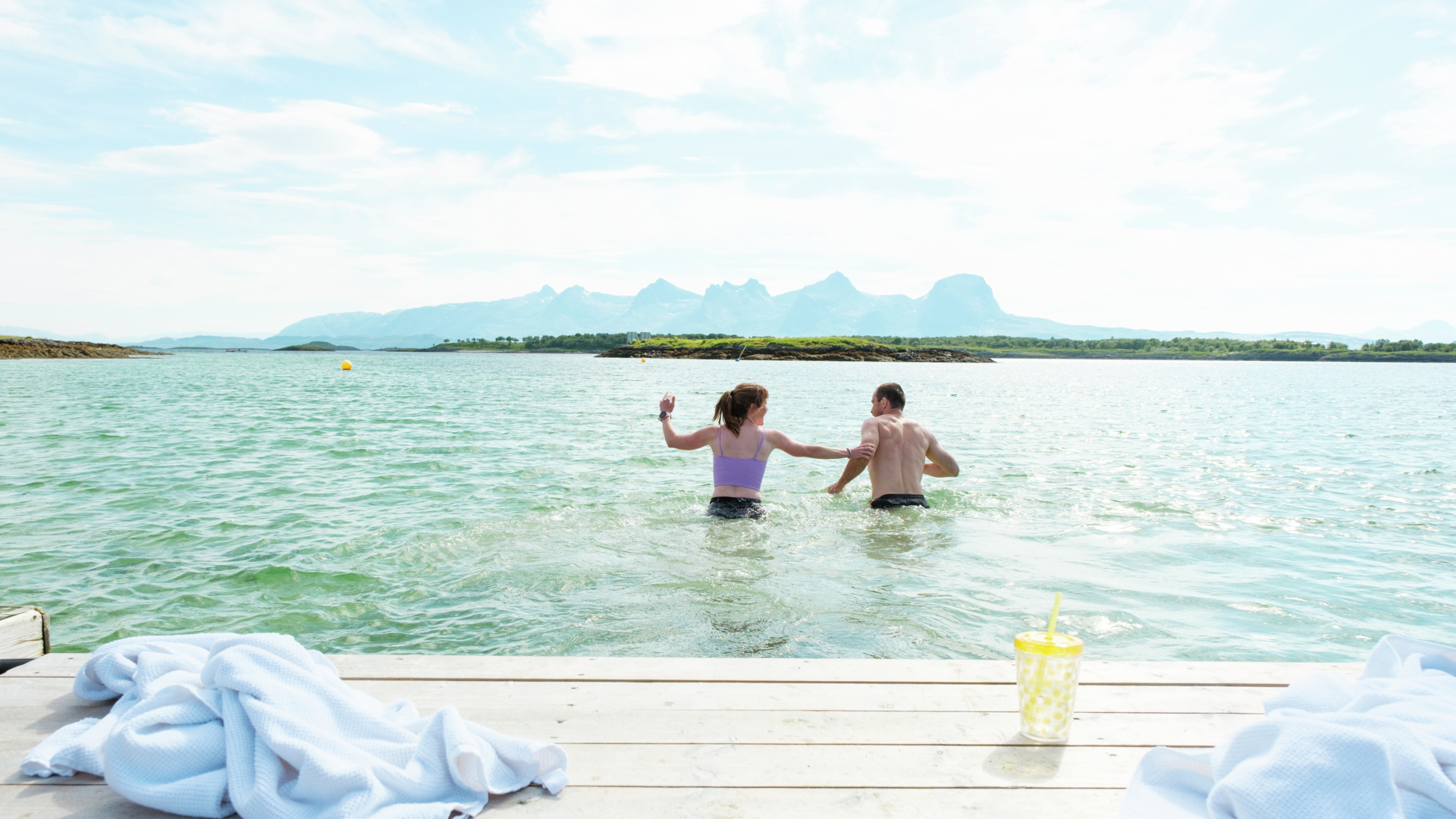
This beach was named the best bathing spot in Nordland by NRK Nordland in 2022. It is a large sandy beach with a bathing dock. The shallow water makes it perfect for families who want to wade and play in the water. Parking, toilets, and showers are available at Herøy Caravan. Non-campers can use the toilets and showers for a fee.
View directions on Google Maps
Drømmeplassen (Dream Place)
This bathing spot is located in the shallow strait between the islands of Ytre- and Indre Øksningan. It is well-equipped with a large platform, several benches, a grill hut, an outdoor toilet, and a ball court.
View directions on Google Maps
Bukkholmen
This is a lovely small outdoor area located at the southern end of Seløy. It features a fire pit, several benches, and just enough beach space.
View directions on Google Maps
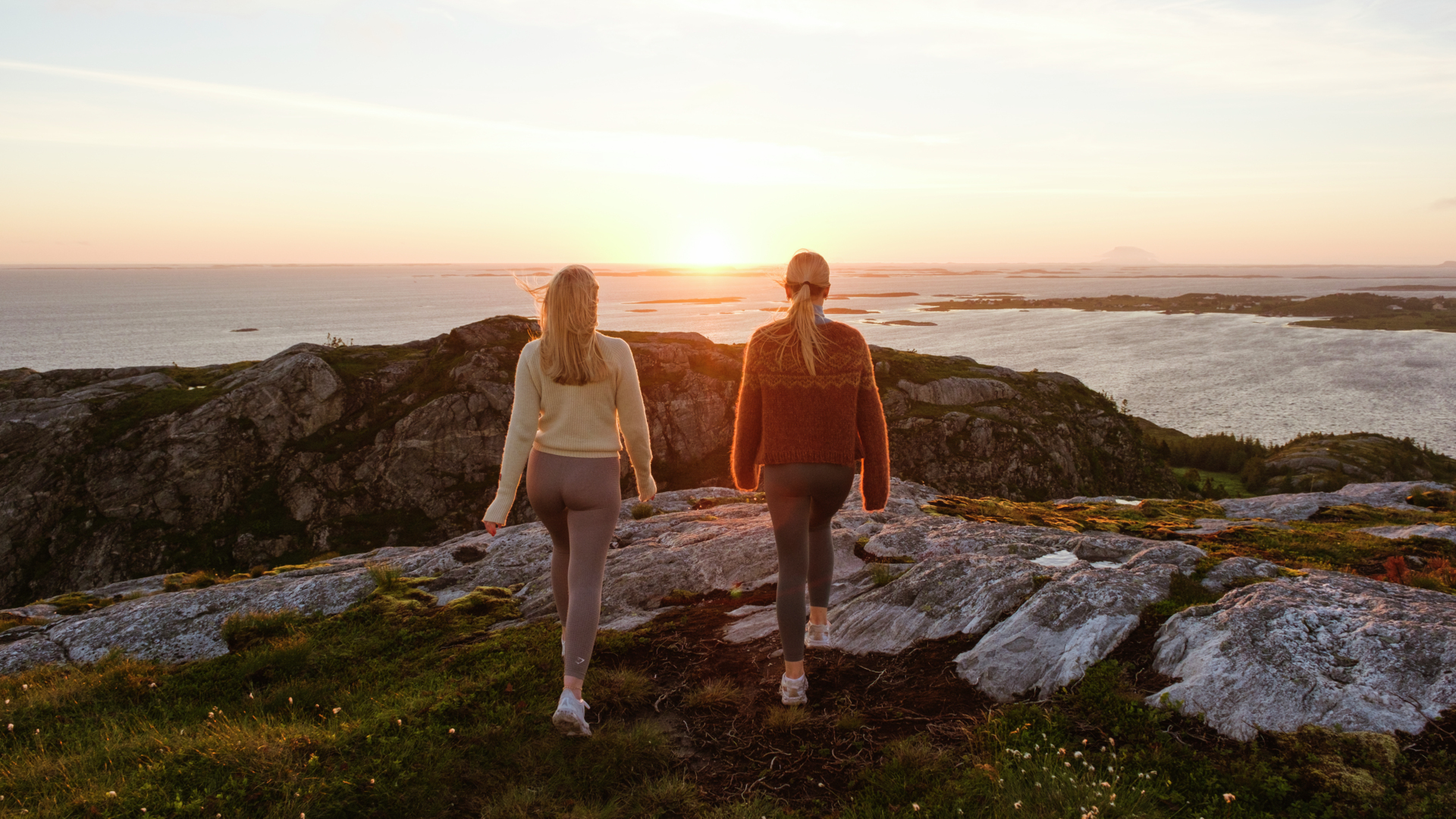
In the low coastal landscape, there is little that obstructs the midnight sun and the Northern Lights, but there are some places that are particularly stunning.
Staulen
On the outer side of the island Staulen, located east in Herøy, you can enjoy a stunning view out towards the sea, with the island Lovund to the north and the magnificent mountain Dønnamannen to the east.
View directions on Google Maps
Storhågen på Seløya
Although only about 20 meters higher than sea level, Storhågen offers a fantastic view over Seløya, with Øksningan to the south and Lovund to the north. Storhågen is just a few minutes’ walk from Skolo.
View directions on Google Maps
Tennvalen
Tennvalen is where the road ends in the southwestern part of the connected islands of Herøy. It’s a beautiful cycling route, especially on sunny days, located approximately 10 kilometers from the village of Silvalen.
View directions on Google Maps
The Right of Access (“Allemannsretten”) in Norway allows you to camp in tents in all uncultivated land, as long as you keep a distance of 150 meters from cabins and houses.
We recommend using a designated camping site where you’ll have access to showers, toilets, waste disposal, parking, and activities.
However, if you still wish to tent camp or engage in wild camping, we recommend the following places:
Landvindsøya
On Landvindsøya, you can park your camper or caravan for a few days and leave your car while you camp on the surrounding rocks. During the summer, there are waste bins available, making it easy to clean up after yourself. However, please note that there are no toilets on the island, so plan your toilet visits accordingly.
View directions on Google Maps
Hoholmen
Near Hoholmsbrua, there is a small rest area where you can park your car while enjoying camping in the nearby area. As it is a compact rest area, please be considerate of other travelers and use only the necessary space. Under the bridge, you’ll find a popular spot for fishing from the shore.
View directions on Google Maps
Discover your own island with a kayak
Herøy is comprised of thousands of islands and islets, with only a small fraction being inhabited. On beautiful sunny days, it’s a fantastic opportunity to find an island that you can have all to yourself. Remember to practice leave-no-trace principles and respect the natural environment.
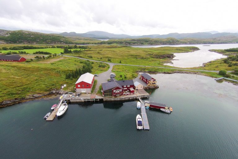
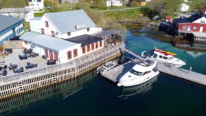
Herøy Marina, located near the village of Silvalen
View it in Google Maps
Read more on Vel I Havn
Tennvalen Floating Dock
View it in Google Maps
Husvær harbour
View it in Google Maps
Prestegården Floating Dock (to be set up in summer 2023)
View it in Google Maps
Lad Opp ved Herøy Brygge og Coop Prix på Silvalen
Fast charging (up to 400 kW) from Lad Opp is available at Herøy Brygge and Coop Prix in the village of Silvalen.
View it in Goolge Maps
Outdoor toilet at the Drømmeplassen recreational area
Find it with Google Maps
Herøy Caravan
Campsite on the island of Tenna in Herøy, located near the Rakelfjæro bathing spot. The toilets can be used for a fee by non-campsite guests.
Find it with Google Maps
Herøy Caravan
Campsite on the island of Tenna in Herøy, located near the Rakelfjæro bathing spot.
View directions on Google Maps
Tanghuset Arena
Motorhome campsite on the island of Brasøy, a short ferry ride from the larger, bridge-connected islands in Herøy.
View directions on Google Maps


