Ski touring: Middagstuva, 1236 m.
 Kitt Grønningsæter
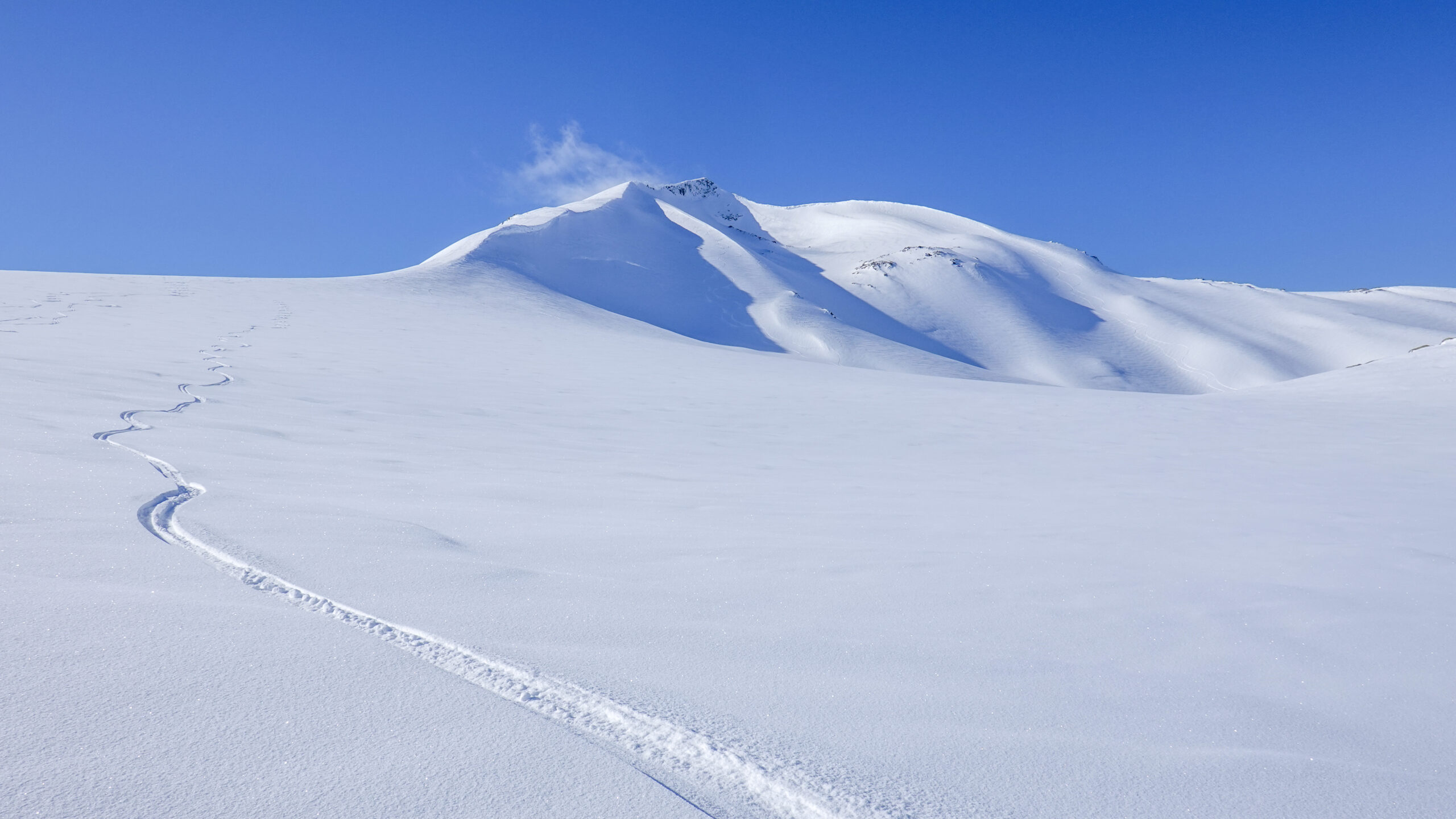
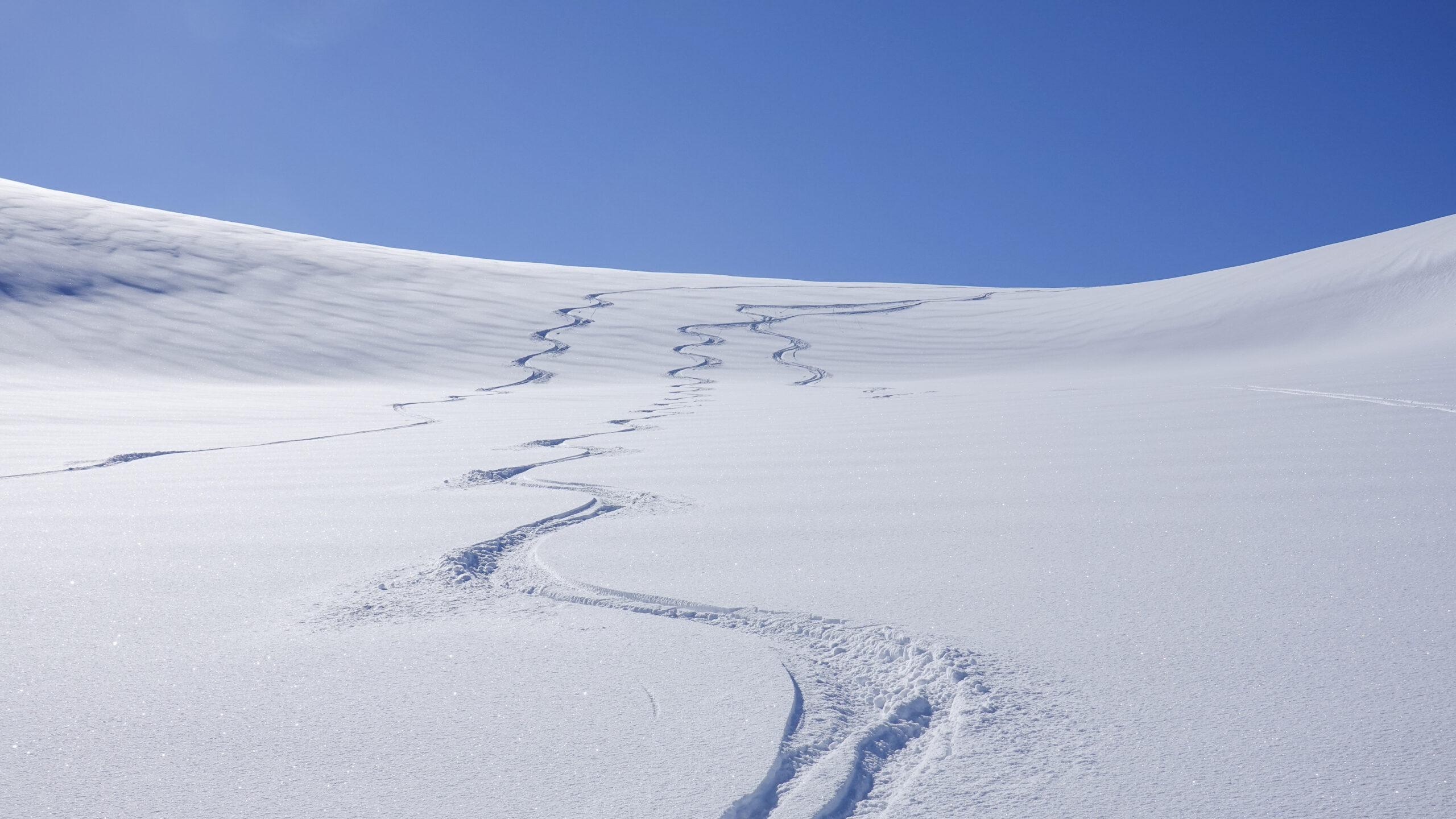
Middagstuva is one of Meløy’s more accessible ski touring peaks, while still offering opportunities for those looking for steeper and more challenging lines. The route starts at around 400 metres above sea level, making it possible to find good snow conditions both early and late in the season.
Key info
Difficulty: Moderate
Distance one way: Approx. 4.4 km
Elevation gain: Approx. 860 metres
Duration one way: 2-4 hours
Starting point: The route begins just beyond Tunnel 1 on the mountain road leading towards Storglomvatnet.
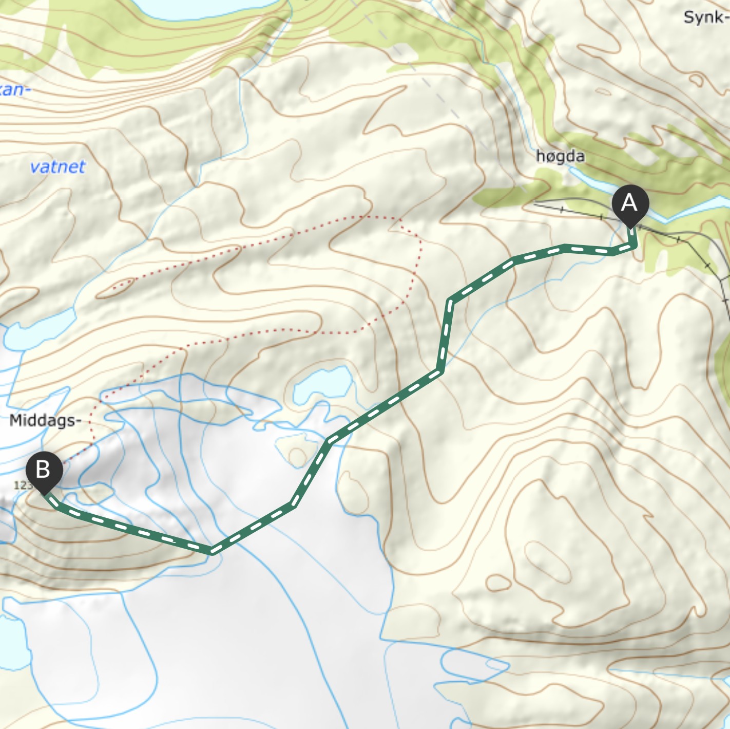 UT.no / Norgeskart
Please note that the route shown on the map is approximate. You are responsible for choosing your own route based on your experience, the terrain and the snow conditions.
Download GPX
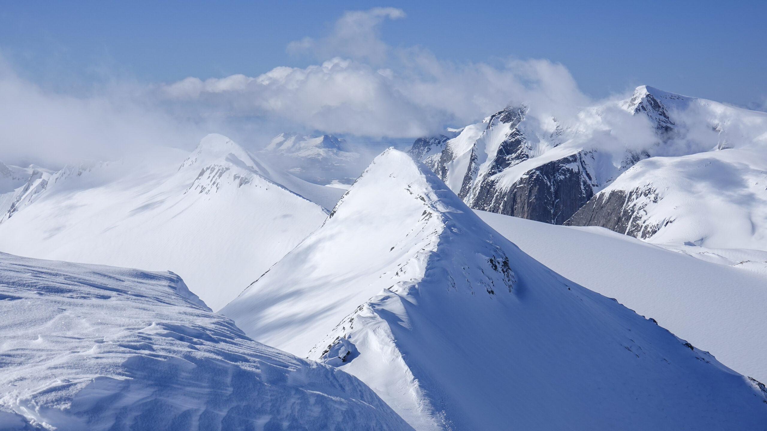
The mountain road between Svartistunnelen and Fykantunnelen provides easy access to the mountain areas above Glomfjord. From the summit of Middagstuva, there are views towards Stormglomvatnet, the Svartisen glacier and Lahko National Park to the east and north, and the Helgeland coast beyond Bjærangsfjorden to the west.
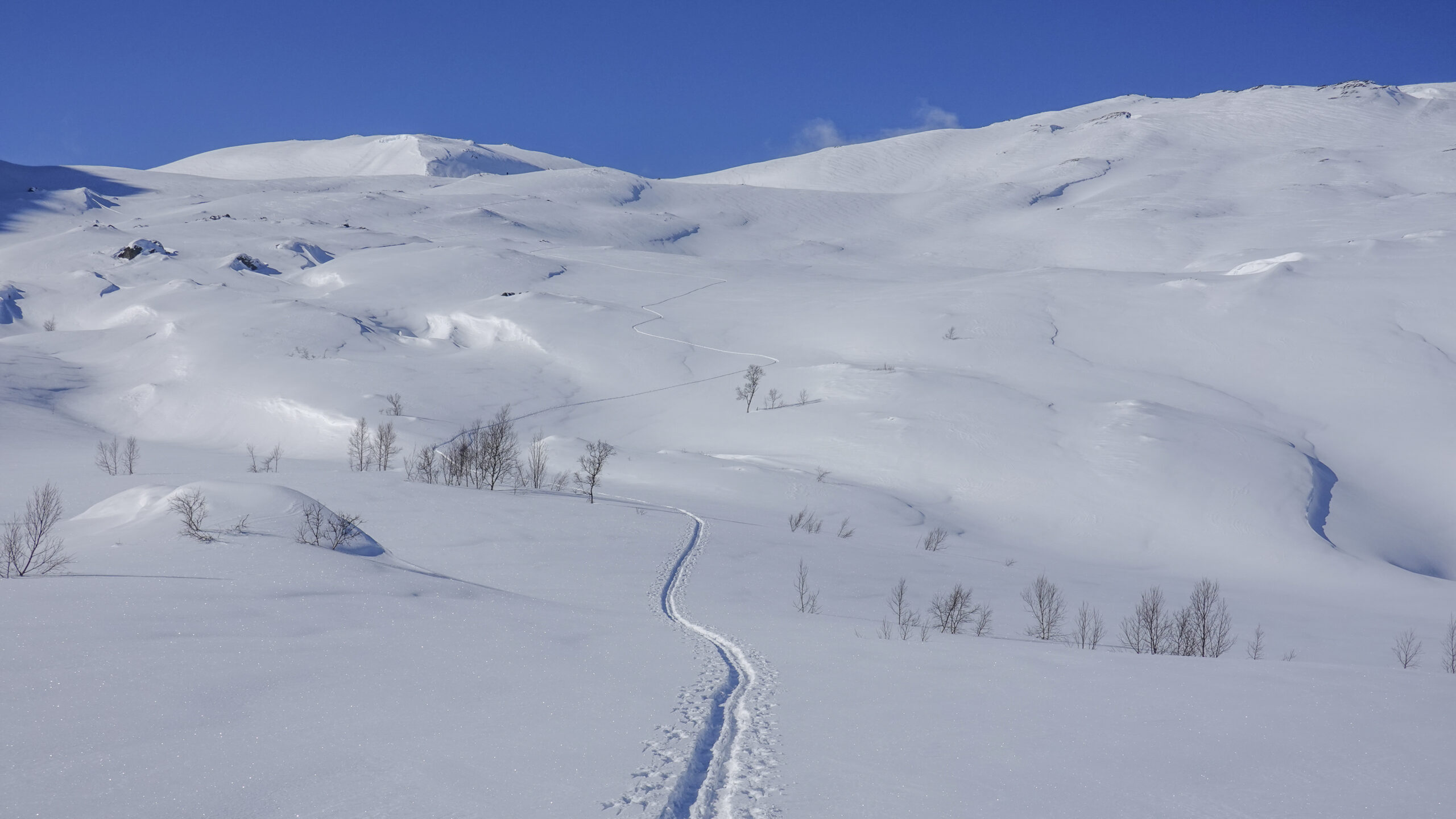
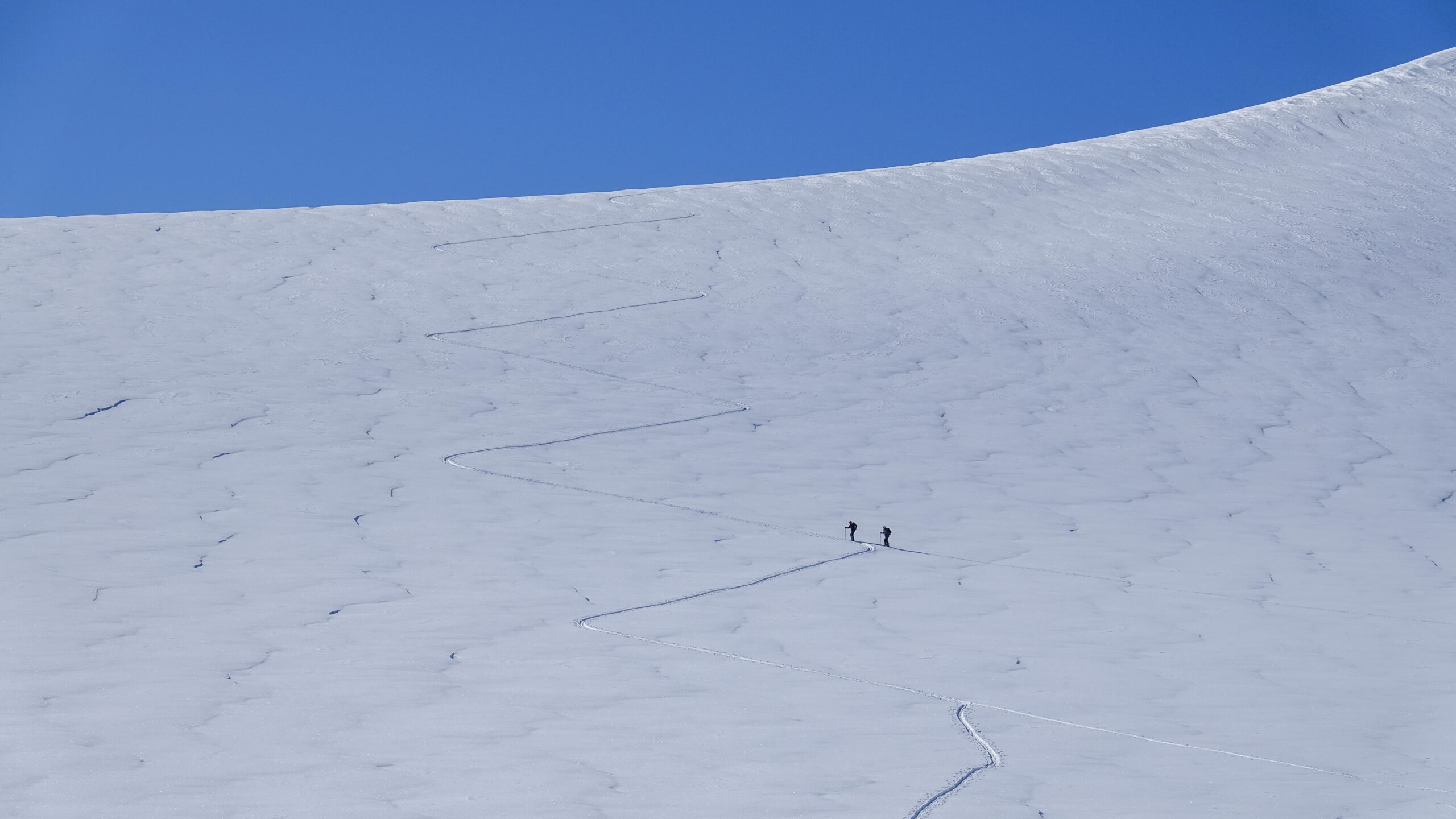
Early in the season, the road beyond Tunnel 1 is not cleared of snow, and parking is available inside the tunnel. The route begins in the small valley about 500 metres from the tunnel entrance. From here, follow the ridge along the northern side of the valley for around 1 km before traversing up towards and across the glacier at approximately 800 metres above sea level. The terrain is mostly below 25°, with a few steeper sections approaching 30° near the summit.
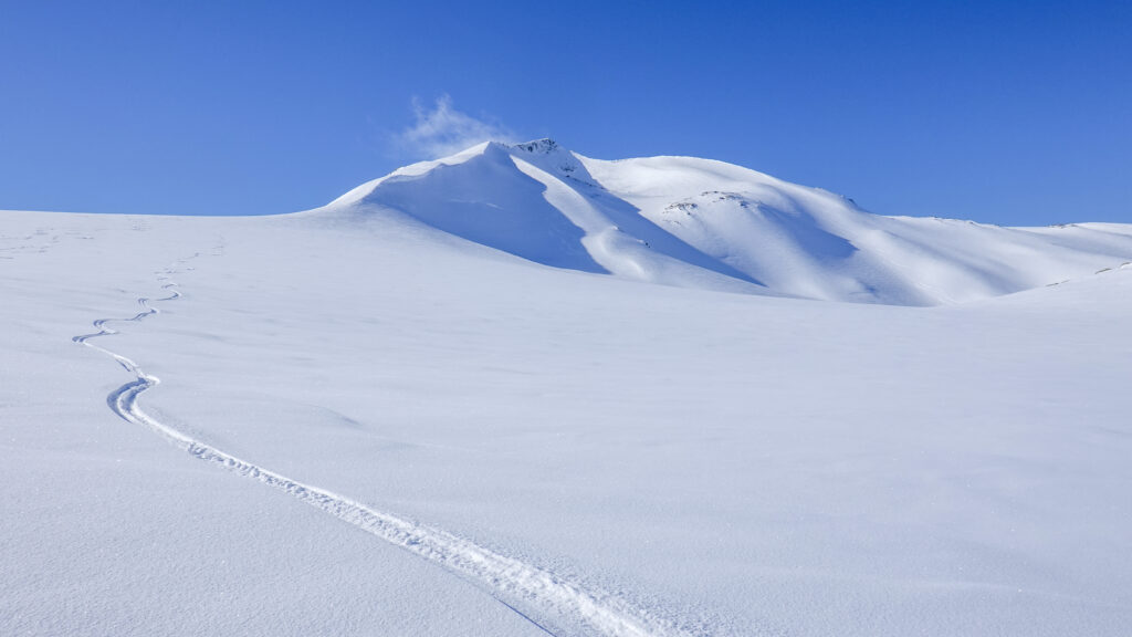
At around 950 metres above sea level, there is a steeper step that must be ascended to reach the ridge leading to the summit. In poor snow conditions, it may be sensible to turn around before this point. If conditions allow safe passage, the remainder of the route to the summit is a gentle ascent. Be sure to keep a good distance from the cornice that extends along the north-west side of the ridge.
Always check the weather forecast and avalanche forecast before setting out on a ski tour, and make your own assessment of conditions and potential avalanche risk.
1. Follow the Norwegian Mountain Code and plan according to your ability and equipment
Short hikes on easy terrain don’t require much. If you’re heading out for an hour or two in the lowlands and not gaining much elevation, you won’t need a lot of gear or be in top shape. If it gets cold or you get tired, you’re usually not far from your car.
But if you’re heading into more challenging terrain—steeper, rougher, and above the treeline where the weather is more unpredictable—you’ll need to be better prepared. You should plan the trip based on weather and conditions, be fit enough to complete it, and be ready for uneven ground, boulder fields, slippery roots, and stream crossings. That means carrying a heavier pack with extra clothes and gear, and wearing sturdy hiking boots that support your ankles.
If you’re unsure about taking on a demanding mountain hike, start with an easy or moderate one and see how it feels.
Learn more about the Norwegian Mountain Code at rodekors.no
See what you should bring on your hike on VisitNorway.com
2. Stick to marked trails
A shortcut through unfamiliar terrain can easily turn into a long and difficult detour. What looks like a trail might just be a sheep path that leads you somewhere completely unexpected. If you want the hike to be as easy or challenging—and as long or short—as planned, it’s best to follow marked trails.
If you’re heading off-trail, it’s smart to follow a GPS track. You can download a GPX file from a hike description and use it on a GPS device, a smartphone app, or a GPS watch.
UT.no and the UT app offer hike descriptions with GPS tracks. If your hike doesn’t have one, you can upload a track to ut.no/mine-turer and access it in the app. It’s free, but you’ll need to create an account.
Always carry a map and compass as backup.
UT app for Android / UT app for iPhone
3. Talk to locals or join a guided hike
Locals often have useful tips about your planned hike. They can tell you where to park, whether there’s phone coverage, if the trail is wet, if rivers are high, or suggest a better alternative. Talk to the people where you’re staying, at the local tourist office, or other hikers on the trail—you might get some truly valuable advice.
The best option is to hike with a guide. You can join a group tour or book a private guide. These are experienced locals who know the area well. They’ll help tailor the hike to your needs and share insights that add to the experience.
4. Look out for cultural landmarks
Even high up in the mountains, you’ll find traces of past human activity—some hundreds or even thousands of years old. These can include ancient trail markers, signal cairns, hunting fences, huts, and shepherd shelters. If you spot something interesting, check the KulturPunkt app to see what it is—or use the app to find a cultural site as your hiking goal.
KulturPunkt app for Android / KulturPunkt app for iPhone
KulturPunkt.org
5. Remember your responsibilities under the Right to Roam
Norway’s Right to Roam means you can hike, bike, pick berries, camp, fish, and ski almost anywhere in nature. But it also comes with responsibilities—what we call the “duties of the Right to Roam.” Leave no trace, respect wildlife, and know the rules for hunting, fishing, cycling, and access in protected areas like national parks and nature reserves.
Read more about the Right to Roam and your responsibilities at VisitNorway.com
Thank you for respecting the local communities, and for helping us preserve the natural beauty of Helgeland!
Please:
- Strive to leave no trace of your visit. Bring back all your rubbish, including used toilet paper, and discard it in the nearest rubbish bin.
- Plan your toilet visits and use the opportunity when you pass a toilet. In the wilderness, make sure you are not a nuisance to others.
- Respect the local wildlife. Keep a good distance from wildlife, livestock and birds. Keep your dog leashed.
- Respect private property. Keep a respectful distance from houses and cabins.
- Show good boating sense. Keep a good distance from shore and drive at a low speed, especially when you are close to anyone or anything on the water, including birds or animals. Avoid loud and disturbing engine noise. Be aware that some islands and nature reserves are important nesting sites, and that going ashore is prohibited during the nesting season.
- Follow the Norwegian Mountain Code (Fjellvettreglene). Plan your excursion according to the weather forecast, your skills and experience.
- Join a guided excursion or consider hiring an experienced guide, especially when you don’t have sufficient experience or knowledge to guarantee a safe trip.
Book your experiences


Hunting the Northern Lights at Støtt
Do you yearn for a truly magical winter adventure, and a respite from the hustle and bustle of everyday life? Between September and May, Støtt invites you to see the amazing celestial display of the Northern Lights! In addition, you will surely appreciate the subtle winter colours of our beautiful island realm.
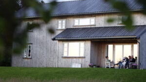
Lille Herstrand – Beachfront holiday home
Lille Herstrand is a modern holiday home just meters from the sea, located in Meløy at the northern end of the Helgeland Coast. Here, you can enjoy nature and the peaceful surroundings, perhaps from a kayak or boat?

Restaurant Gammelbutikken at Støtt – authentic local seafood
Restaurant Gammelbutikken is Støtt’s grand locale and exudes authentic coastal culture. Here, you can taste the best that the island and the sea have to offer in terms of local culinary treasures. They follow the entire value chain, from harvesting ingredients in the island’s natural surroundings and catching fish in the Vestfjorden, to serving it in the restaurant.
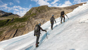
Glacier hike on Svartisen with Explore Svartisen
Join an adventurous glacier hike on the Engabreen glacier tongue in Svartisen, Meløy. The tour is available both during the day and under the midnight sun.
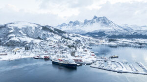
Ørnes Hotel
Ørnes Hotell offers comfortable accommodation in the heart of Helgeland’s stunning coastal landscape. With easy access to both nature and local experiences, it’s the perfect base for your journey.
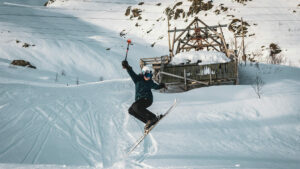
Glomfjord Alpine Centre – pure ski joy in the Meløy Alps
Glomfjord Alpine Centre offers a chairlift, varied slopes, and breathtaking views of the fjord and surrounding glaciers. This is a winter paradise for experienced skiers and freeride enthusiasts, surrounded by snow-covered peaks and a local team with a true passion for the mountains.
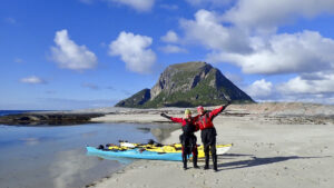
The kayakers paradise at Støtt
From Støtt, you can paddle in the beautiful and sheltered archipelago of Støttvær or indulge in the thrill of surfing waves and breakers along the open coast. Join a course, embark on a guided tour, or rent a kayak of your own.
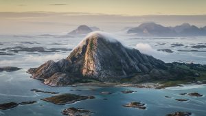
Bolga Brygge – Sleep to the soothing sound of waves
Bolga Brygge offers comfortable accommodation and good dining. Guest can enjoy fishing, kayaking the sheltered waters nearby, and hiking up a mountain that offers an amazing panorama of a large section of Helgeland.
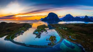
Støtt – Top of Helgeland
The picturesque old trading post of Støtt offers some of Helgeland’s most beautiful and unique holiday experiences. Many adventures await you here, and you can enjoy charming quarters and great dining in historic buildings steeped in the island’s ancient coastal heritage.
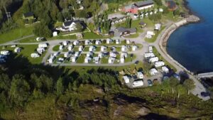
Furøy Camping by the Svartisen glacier
Furøy Camping is conveniently located near the coastal route «National Tourist Route Helgeland Coast», in the northern parts of the coast, with close proximity to the Svartisen glacier. The campsite offers cabins and spaces for motorhomes, caravans, and tents.