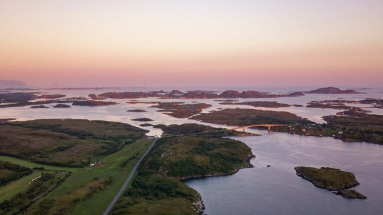
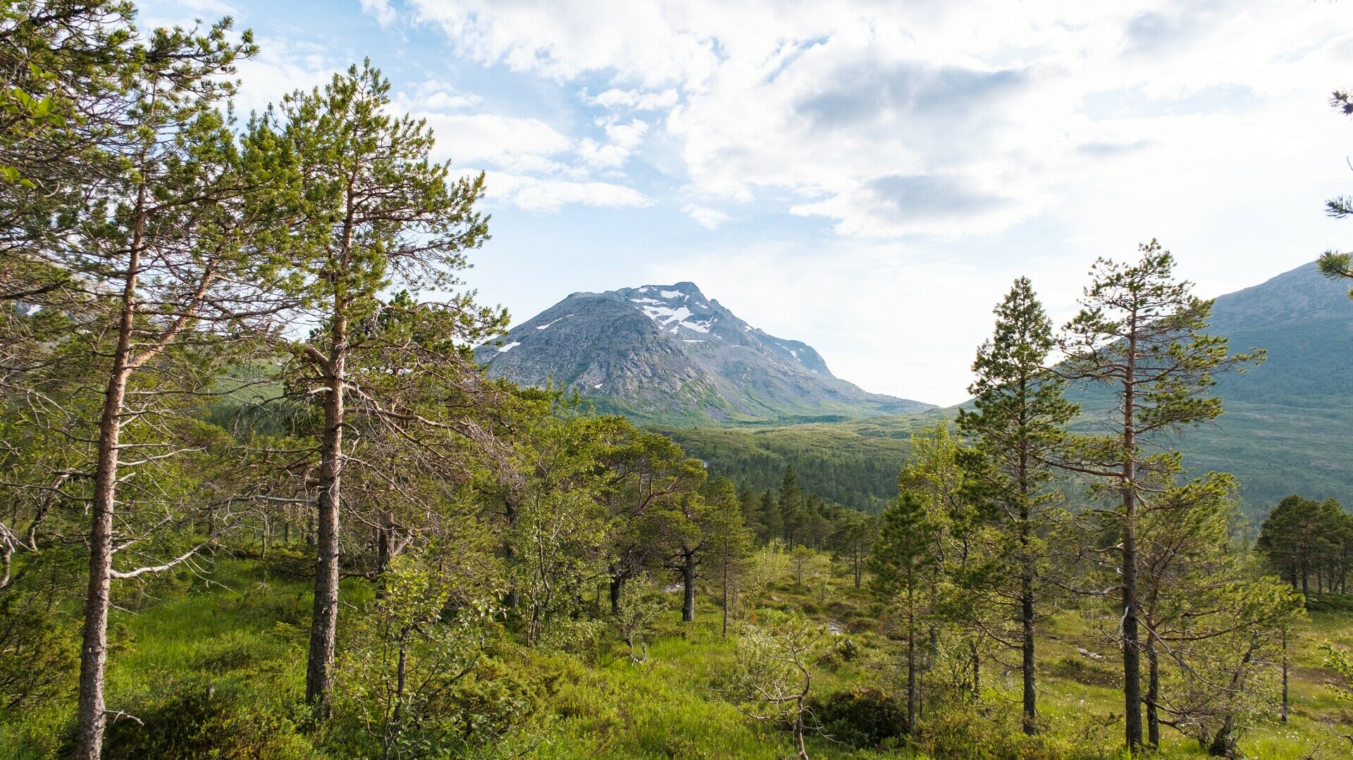
At the southernmost edge of Helgeland, surrounded by high mountains, long fjords and forested hillsides, lies the beautiful fjords of Bindal. Here, visitors can discover the proud tradition of the Nordland boat or explore the region’s many mountains, fjords and wide-open natural landscapes.
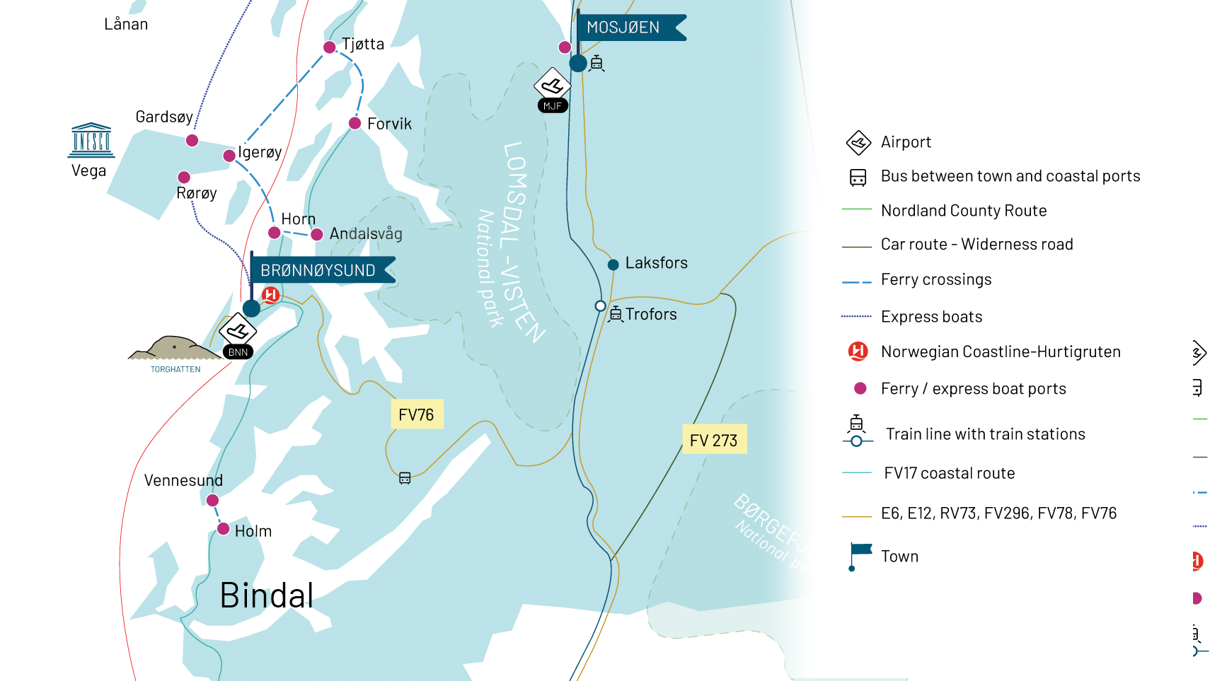
Bindal is located along County Road 17, right at the southern tip of Helgeland. Click here to view the area on Google Maps.
The easiest way to get to and travel around Bindal is by car, but you can also take a bus to Terråk from Grong or Brønnøysund.
Check the bus schedule for the route Brønnøysund – Grong – Namsos.
Ferry: If you need to travel between Bindal and Sømna (the municipality north of Bindal), you’ll need to take the ferry between Holm and Vennesund. Click on the names above to see them on Google Maps.
Check the ferry schedule for Vennesund-Holm here.
You can also view local traffic updates at Vegvesen.no
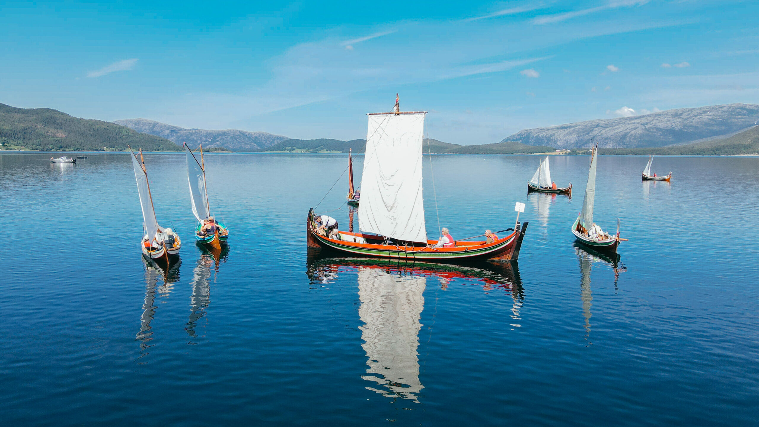
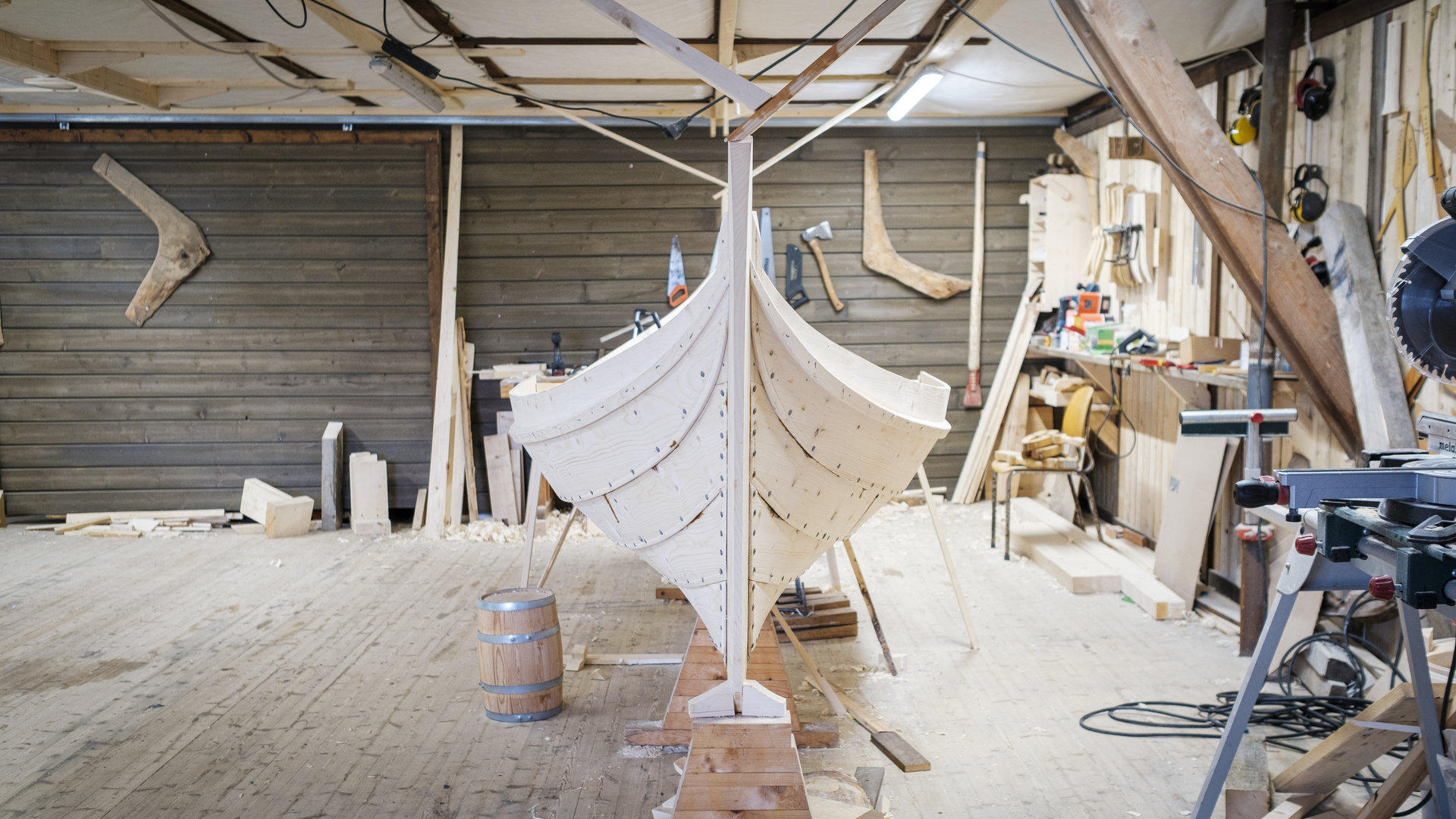
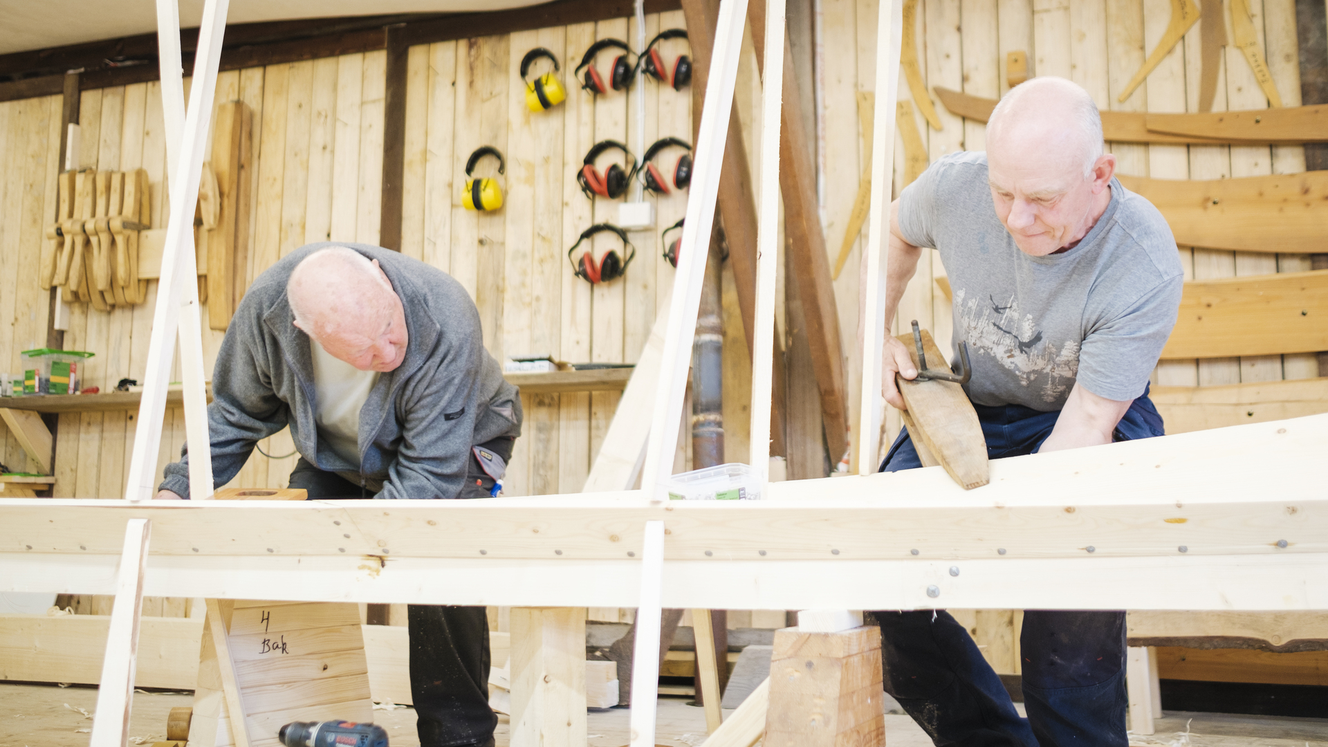
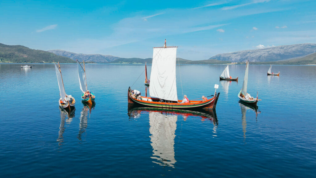
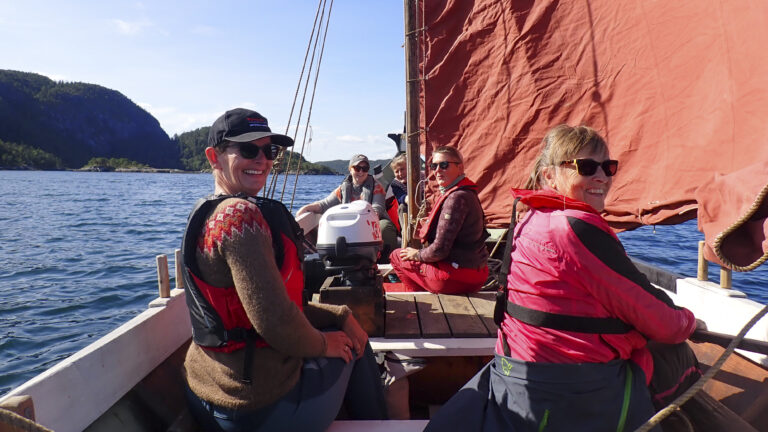
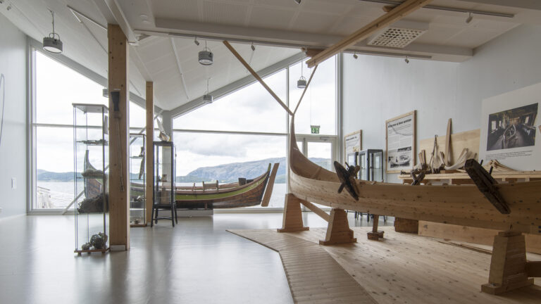
The Nordland boat tradition has deep roots in Bindal, where the UNESCO-listed craft of building these boats has been passed down through generations all the way back to the Viking Age. A thriving local boat community keeps both the building tradition and the use of the boats alive. Visitors can still experience these distinctive boats on the fjord today, or watch them under full sail during the annual Nordland Boat Regatta.
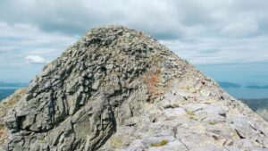
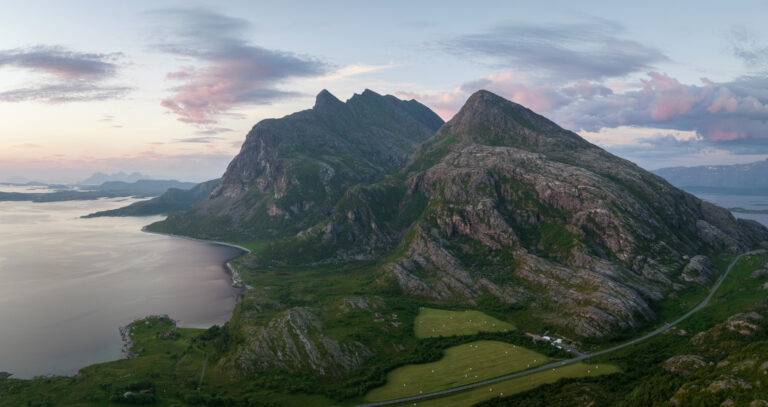
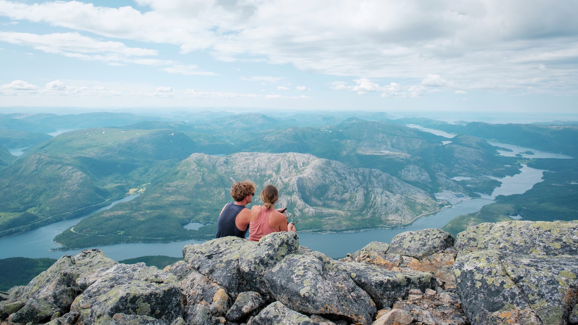
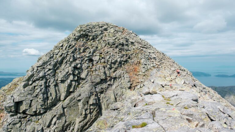
Many people also come to Bindal to climb Heilhornet. Rising high above the surrounding landscape in near solitary grandeur, the mountain is a clear sign that you have finally arrived in Helgeland if travelling north by car. Experienced hikers are recommended to make the hike to the summit. It is a demanding hike with a significant ascent and sections of steep terrain, but the views across Bindal, the fjords and the surrounding area are well worth the effort.
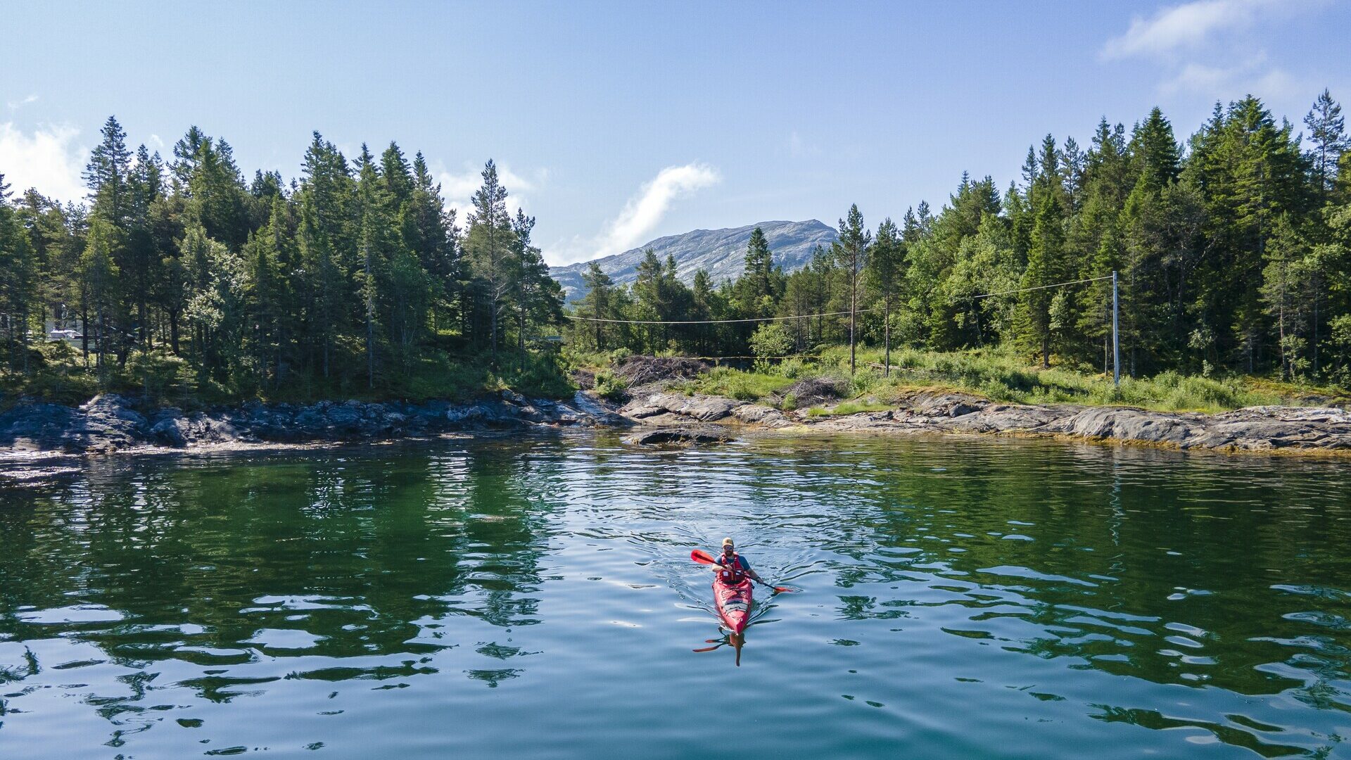
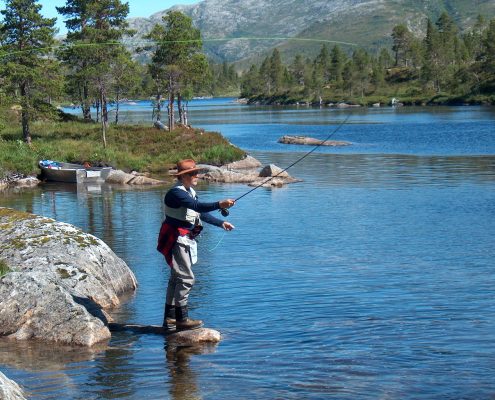
Bindal has plenty to offer those who enjoy spending time outdoors. Deep fjords and open stretches of sea. High, jagged peaks and broad, rounded mountains. Islands and skerries. Forests and rivers, fishing lakes and places to swim. There is something for every kind of outdoor enthusiast here, whether arriving with a fishing rod and hiking boots, a mountain bike and kayak, or children in the back seat and an inflatable crocodile strapped to the roof.
 Emilie Solbakken / Visit Helgeland
Experiences in Bindal
Thank you for respecting the local communities, and for helping us preserve the natural beauty of Helgeland!
Please:
- Strive to leave no trace of your visit. Bring back all your rubbish, including used toilet paper, and discard it in the nearest rubbish bin.
- Plan your toilet visits and use the opportunity when you pass a toilet. In the wilderness, make sure you are not a nuisance to others.
- Respect the local wildlife. Keep a good distance from wildlife, livestock and birds. Keep your dog leashed.
- Respect private property. Keep a respectful distance from houses and cabins.
- Show good boating sense. Keep a good distance from shore and drive at a low speed, especially when you are close to anyone or anything on the water, including birds or animals. Avoid loud and disturbing engine noise. Be aware that some islands and nature reserves are important nesting sites, and that going ashore is prohibited during the nesting season.
- Follow the Norwegian Mountain Code (Fjellvettreglene). Plan your excursion according to the weather forecast, your skills and experience.
- Join a guided excursion or consider hiring an experienced guide, especially when you don’t have sufficient experience or knowledge to guarantee a safe trip.
Bøkestadvannet near Bindalseidet
A swimming area with wheelchair access, featuring a grill area, toilets, benches, and a diving tower. Located about 10 minutes by car or 20 minutes by bike from the village of Bindalseidet. Toll road after Bindalseidet.
See directions in Google Maps
Vikestadvågen near Bindalseidet
Swimming spot with park benches and a toilet, about 5 minutes by car or 10 minutes by bike from Bindalseidet.
See directions in Google Maps
Fallbekkvatnet near Terråk
Rest and swimming area with grill, benches, a diving tower, swimming trampoline, toilets, and changing rooms. Less than 5 minutes by car or about 10 minutes by bike from Terråk.
See directions in Google Maps
Aunvatet
Swimming spot with toilet, benches, grill, swimming dock, and trampoline, about 20 minutes by car from Terråk.
See directions in Google Maps
Heimerhagan ved Helstad
Shallow swimming area with a trail bench, about 10 minutes by car or 30 minutes by bike from Terråk.
See directions in Google Maps
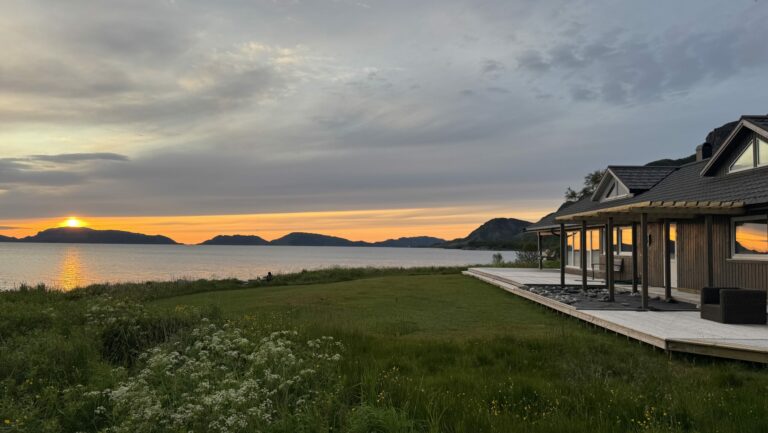
You can see the midnight sun from the west side of the Bindal peninsula, or if you climb a bit higher to get a view of the sea to the north-northwest.
Gundagammen
In the autumn, the trip to Gundagammen can be a nice northern lights tour. Here, you enter the ‘pot’ between the mountains Hildringsfjellet, Markahornet, Heilhornet, and Litlhornet on the Bindal peninsula. Remember a headlamp and spikes if it’s frosty.
See the trip on TellTur
Skiitour up Svartåsdalen
In winter, you can follow groomed tracks into Svartåsdalen, just south of Terråk to see the northern lights. Remember a headlamp.
See the track on Løyper.net
See trailhead on Google Maps
Heilhornet
The hike to Heilhornet is demanding, but the view from the top is great in the evening or midnight sun. However, we do not recommend doing this hike in periods when it’s so dark that you’ll need a headlamp, as the last part of the hike is challenging and goes through very rugged terrain with climbing and scrambling.
Read more about Heilhornet here
Read more about midnightsun in Helgeland
Read more about northern lights in Helgeland
Toilet at Årsandøy rest area along the Coastal Route
See it in Google Maps
Toilet at the rest area by Fallbekkvatnet near Terråk
See it in Google Maps
Toilet at Holm ferry quay
See it in Google Maps
Terråk båtforening
See it in Google Maps
Les mer på Facebook
Guest dock at Terråk quay, for short stays
See in Google Maps
Kople charging station at Coop Prix Terråk
Charging station outside Coop Prix, with both a fast charger and a 22 kW charger.
Find it on Google Maps
Lad Opp in Foldereid
Lad Opp charging station at Joker Foldereid, just south of the municipal border with Bindal and the county border with Nordland, about a 25-minute drive from Terråk.
Find it on Google Maps